South West
-
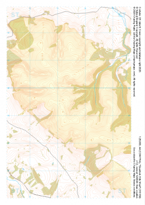 "Quantock Hills West" Major Hazards£4.99
1:25,000 scale map covering Quantock Hills West in the South West (approx. center ST134395).
Learn More -
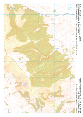 "Quantock Hills East" Major Hazards£4.99
1:25,000 scale map covering Quantock Hills East in the South West (approx. center ST171372).
Learn More -
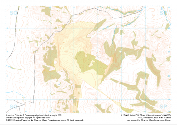 "Cleeve Common" Major Hazards£4.99
1:25,000 scale map covering Cleeve Common in the South West (approx. center SO996257).
Learn More -
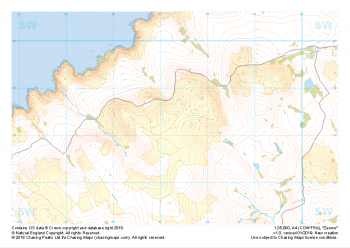 "Zennor" Major Hazards£4.99
1:25,000 scale map covering Zennor in the South West (approx. center SW473382).
Learn More -
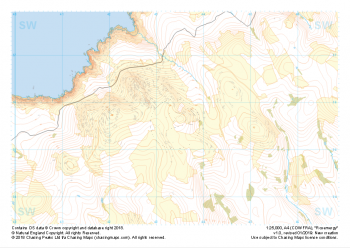 "Rosemergy" Major Hazards£4.99
1:25,000 scale map covering Rosemergy in the South West (approx. center SW434355).
Learn More -
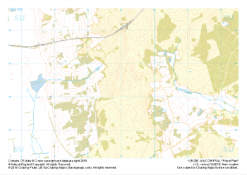 "Picket Plain" Major Hazards£4.99
1:25,000 scale map covering Picket Plain in the South West (approx. center SU191043).
Learn More -
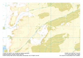 "Linwood" Major Hazards£4.99
1:25,000 scale map covering Linwood in the South West (approx. center SU192108).
Learn More -
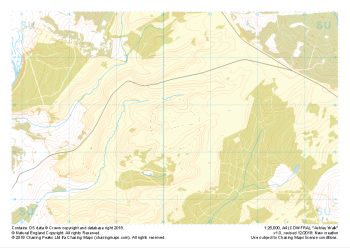 "Ashley Walk" Major Hazards£4.99
1:25,000 scale map covering Ashley Walk in the South West (approx. center SU202156).
Learn More -
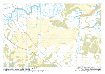 "Middlebere Heath" Major Hazards£4.99
1:25,000 scale map covering Middlebere Heath in the South West (approx. center SY948851).
Learn More -
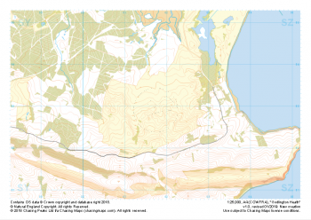 "Godlington Heath" Major Hazards£4.99
1:25,000 scale map covering Godlington Heath in the South West (approx. center SZ017829).
Learn More