Our "Landform+" range is only available in England and Wales and is almost identical to the "Landform" range. In addition to the features shown in the "Landform" range we have included areas of Access Land on the map. These are shown in the familiar outdoor map style of a yellow tint over the map. In Scotland the access situation does not necessitate the existance of Access Land and therefore there is nothing for us to show.
Landform+
-
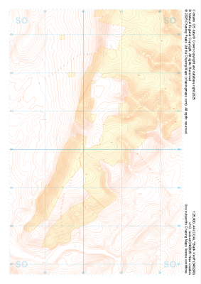 "Black Knoll" Landform+£4.99
1:25,000 scale map covering Black Knoll in the Midlands (approx. center SO403902).
Learn More -
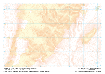 "Minton Hill" Landform+£4.99
1:25,000 scale map covering Minton Hill in the Midlands (approx. center SO428922).
Learn More -
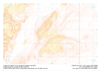 "Caer Caradoc Hill" Landform+£4.99
1:25,000 scale map covering Caer Caradoc Hill in the Midlands (approx. center SO479947).
Learn More -
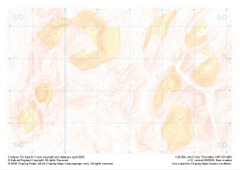 "Roundton Hill" Landform+£4.99
1:25,000 scale map covering Roundton Hill in the Midlands (approx. center SO317953).
Learn More -
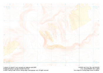
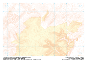 "Wild Moor" Landform+£4.99
1:25,000 scale map covering Wild Moor in the Midlands (approx. center SO431965).
Learn More -
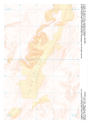 "Stiperstones" Landform+£4.99
1:25,000 scale map covering Stiperstones in the Midlands (approx. center SO373999).
Learn More -
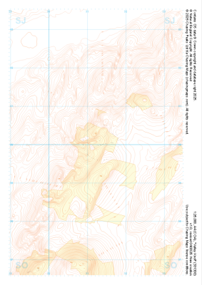 "Valley Knoll" Landform+£4.99
1:25,000 scale map covering Valley Knoll in the Midlands (approx. center SJ312001).
Learn More -
 "Box Hill" Landform+£4.99
1:25,000 scale map covering Box Hill in the South East (approx. center TQ180520).
Learn More -
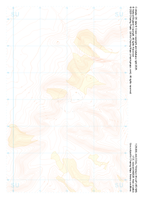 "Shirburn Wood" Landform+£4.99
1:25,000 scale map covering Shirburn Wood in the South East (approx. center SU720950).
Learn More -
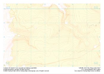 "Wessenden Moor" Landform+£4.99
1:25,000 scale map covering Wessenden Moor in the Peak District (approx. center SE045080).
Learn More