Our "Natural Features" maps show the landforms (contours and rocky areas) in context of larger streams and forests. By providing a little more detail than our "Landform" or "Contour Only" range, these maps are slightly easier to use and especially good for teaching navigation by contours and land forms to those with limited experience in this area. This series also includes Access Land in England and Wales, as well as the customary national grid overlay to allow for effective bearing and grid reference work.
Natural Features
-
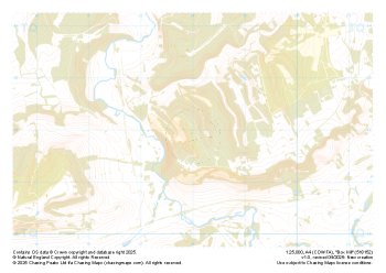
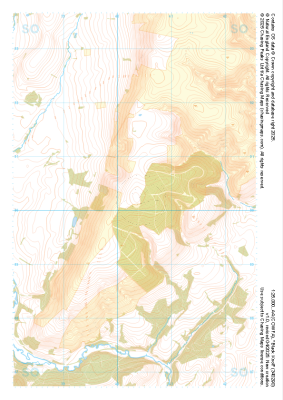 "Black Knoll" Natural Features£4.99
1:25,000 scale map covering Black Knoll in the Midlands (approx. center SO403902).
Learn More -
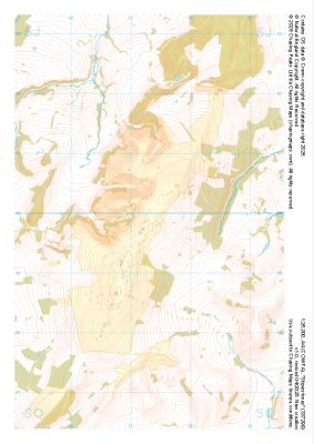
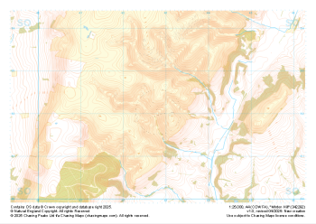 "Minton Hill" Natural Features£4.99
1:25,000 scale map covering Minton Hill in the Midlands (approx. center SO428922).
Learn More -
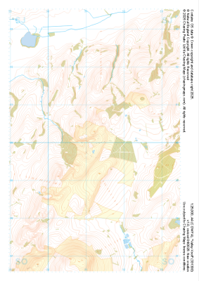
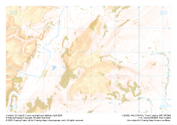 "Caer Caradoc Hill" Natural Features£4.99
1:25,000 scale map covering Caer Caradoc Hill in the Midlands (approx. center SO479947).
Learn More -
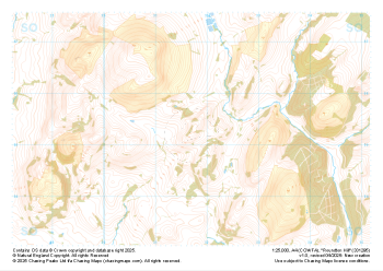 "Roundton Hill" Natural Features£4.99
1:25,000 scale map covering Roundton Hill in the Midlands (approx. center SO317953).
Learn More -
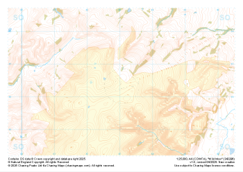 "Wild Moor" Natural Features£4.99
1:25,000 scale map covering Wild Moor in the Midlands (approx. center SO431965).
Learn More -
 "Stiperstones" Natural Features£4.99
1:25,000 scale map covering Stiperstones in the Midlands (approx. center SO373999).
Learn More -
 "Valley Knoll" Natural Features£4.99
1:25,000 scale map covering Valley Knoll in the Midlands (approx. center SJ312001).
Learn More -
 "Box Hill" Natural Features£4.99
1:25,000 scale map covering Box Hill in the South East (approx. center TQ180520).
Learn More -
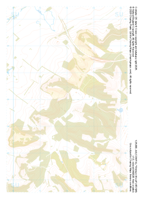 "Shirburn Wood" Natural Features£4.99
1:25,000 scale map covering Shirburn Wood in the South East (approx. center SU720950).
Learn More -
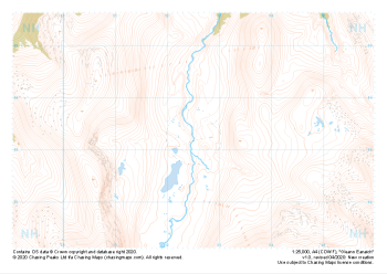 "Gleann Eanaich" Natural Features£4.99
1:25,000 scale map covering Gleann Eanaich in the Scottish Highlands (approx. center NH925032).
Learn More