South West
-
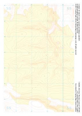
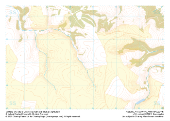
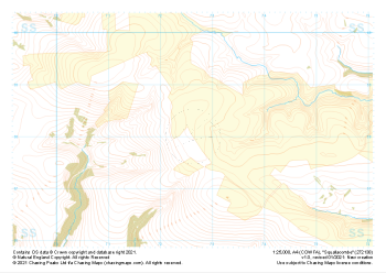 "Squallacombe" Natural Features£4.99
1:25,000 scale map covering Squallacombe in the South West (approx. center SS726381).
Learn More -
 "Squallacombe" Major Hazards£4.99
1:25,000 scale map covering Squallacombe in the South West (approx. center SS726381).
Learn More -
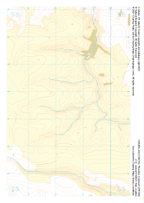
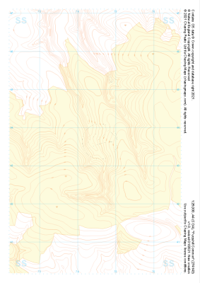 "Furzehill Common" Landform+£4.99
1:25,000 scale map covering Furzehill Common in the South West (approx. center SS745436).
Learn More -
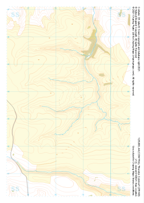
 "Furzehill Common" Natural Features£4.99
1:25,000 scale map covering Furzehill Common in the South West (approx. center SS745436).
Learn More -
 "Furzehill Common" Major Hazards£4.99
1:25,000 scale map covering Furzehill Common in the South West (approx. center SS745436).
Learn More -
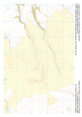
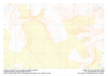
 "Brendon Common" Landform+£4.99
1:25,000 scale map covering Brendon Common in the South West (approx. center SS785436).
Learn More -
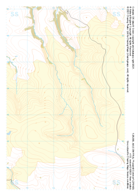
 "Brendon Common" Natural Features£4.99
1:25,000 scale map covering Brendon Common in the South West (approx. center SS785436).
Learn More -
 "Brendon Common" Major Hazards£4.99
1:25,000 scale map covering Brendon Common in the South West (approx. center SS785436).
Learn More -
 "Mill Hill" Landform+£4.99
1:25,000 scale map covering Mill Hill in the South West (approx. center SS836452).
Learn More -
 "Mill Hill" Natural Features£4.99
1:25,000 scale map covering Mill Hill in the South West (approx. center SS836452).
Learn More