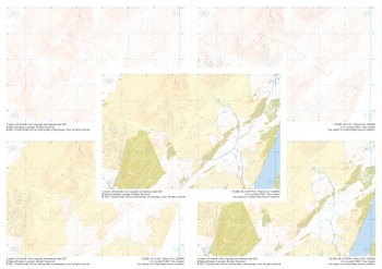
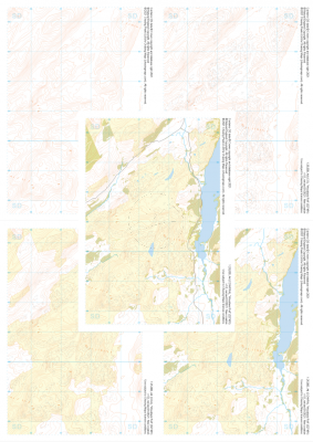
We're constantly adding to our selection of pre-defined areas. Take a look at the map below to see where we have already covered or which areas are about to be released. We're still working on the interactive map and how it integrates with our shop, so please bear with us while we add functionality.
Mapping shown in the interactive map is intended for overview purposes only and does not represent the mapping provided in our products.
Areas
-
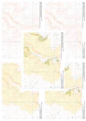
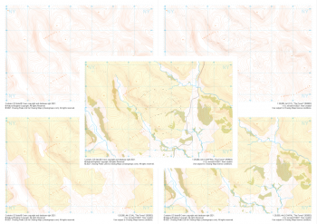 "The Forest" Collection£10.99
1:25,000 scale map covering The Forest in the Lake District (approx. center NY534029).
Learn More -
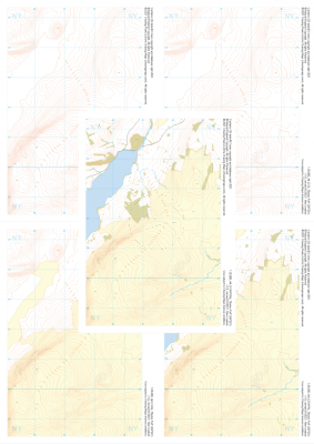
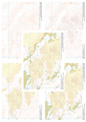 "Dunnerdale Fells" Collection£10.99
1:25,000 scale map covering Dunnerdale Fells in the Lake District (approx. center SD214933).
Learn More -
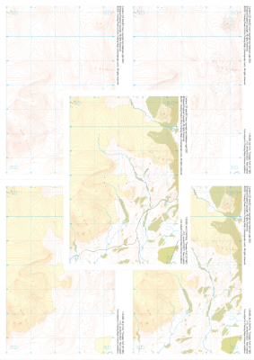
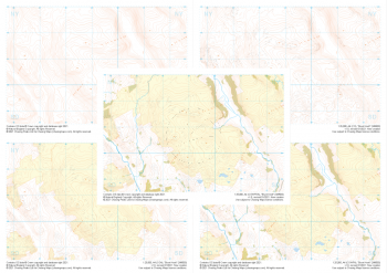 "Brunt Knott" Collection£10.99
1:25,000 scale map covering Brunt Knott in the Lake District (approx. center NY492008).
Learn More -
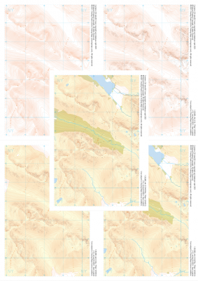
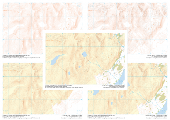 "Coniston Fells" Collection£10.99
1:25,000 scale map covering Coniston Fells in the Lake District (approx. center SD280989).
Learn More -
 "Roundthwaite Common" Collection£10.99
1:25,000 scale map covering Roundthwaite Common in the Lake District (approx. center NY585014).
Learn More -
 "Barton Fell" Collection£10.99
1:25,000 scale map covering Barton Fell in the Lake District (approx. center NY473219).
Learn More -
 "Thwaites Fell" Collection£10.99
1:25,000 scale map covering Thwaites Fell in the Lake District (approx. center SD172878).
Learn More -
 "Pillar" Collection£10.99
1:25,000 scale map covering Pillar in the Lake District (approx. center NY182125).
Learn More -
 "Walna Scar" Collection£10.99
1:25,000 scale map covering Walna Scar in the Lake District (approx. center SD267948).
Learn More -
 "Woodland Fell" Collection£10.99
1:25,000 scale map covering Woodland Fell in the Lake District (approx. center SD275910).
Learn More