We're constantly adding to our selection of pre-defined areas. Take a look at the map below to see where we have already covered or which areas are about to be released. We're still working on the interactive map and how it integrates with our shop, so please bear with us while we add functionality.
Mapping shown in the interactive map is intended for overview purposes only and does not represent the mapping provided in our products.
Areas
-
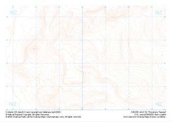 "Roseberry Topping" Landform£4.99
1:25,000 scale map covering Roseberry Topping in the Yorkshire Dales (approx. center NZ602121).
Learn More -
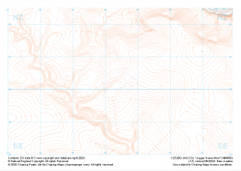 "Jugger Howe Moor" Landform£4.99
1:25,000 scale map covering Jugger Howe Moor in the North Yorkshire (approx. center NZ945003).
Learn More -
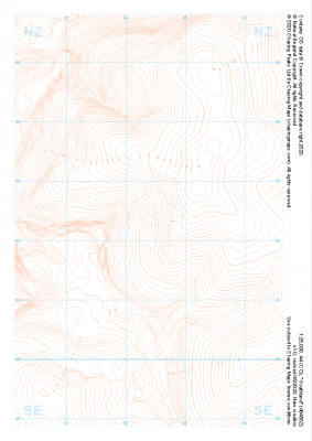 "Goathland" Landform£4.99
1:25,000 scale map covering Goathland in the North Yorkshire (approx. center NZ844023).
Learn More -
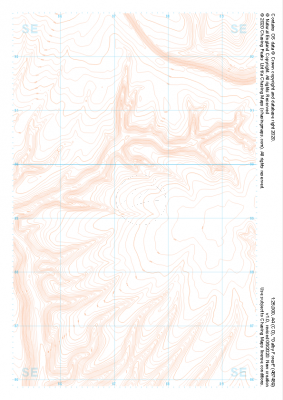 "Dalby Forest" Landform£4.99
1:25,000 scale map covering Dalby Forest in the North Yorkshire (approx. center SE874893).
Learn More -
 "Grassington Moor" Landform£4.99
1:25,000 scale map covering Grassington Moor in the North Yorkshire (approx. center SE023685).
Learn More -
 "Ilkley" Landform£4.99
1:25,000 scale map covering Ilkley in the North Yorkshire (approx. center SE105448).
Learn More -
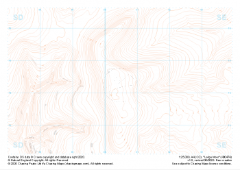 "Lodge Moor" Landform£4.99
1:25,000 scale map covering Lodge Moor in the North Yorkshire (approx. center SE005743).
Learn More -
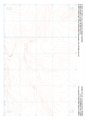
 "Buckden" Landform£4.99
1:25,000 scale map covering Buckden in the North Yorkshire (approx. center SD975793).
Learn More -
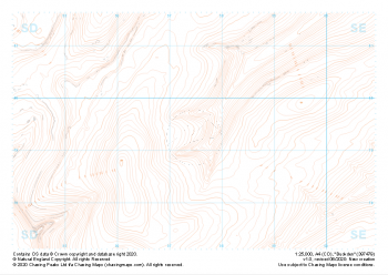
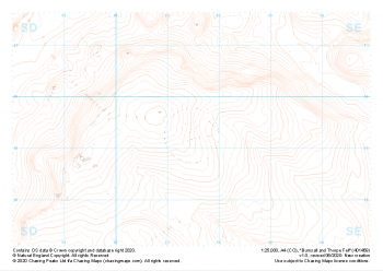 "Burnsall and Thorpe Fell" Landform£4.99
1:25,000 scale map covering Burnsall and Thorpe Fell in the North Yorkshire (approx. center SE015593).
Learn More -
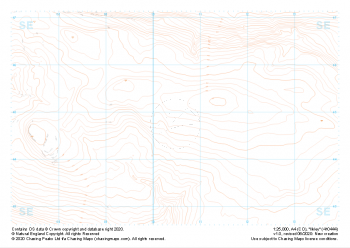
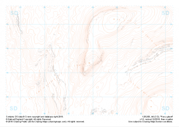 "Pen-y-ghent" Landform£4.99
1:25,000 scale map covering Pen-y-ghent in the Yorkshire Dales (approx. center SD839734).
Learn More