We're constantly adding to our selection of pre-defined areas. Take a look at the map below to see where we have already covered or which areas are about to be released. We're still working on the interactive map and how it integrates with our shop, so please bear with us while we add functionality.
Mapping shown in the interactive map is intended for overview purposes only and does not represent the mapping provided in our products.
Areas
-
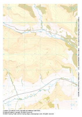
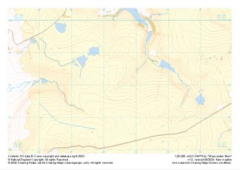 "Wessenden Moor" Major Hazards£4.99
1:25,000 scale map covering Wessenden Moor in the Peak District (approx. center SE045080).
Learn More -
 "Grains Moss" Major Hazards£4.99
1:25,000 scale map covering Grains Moss in the Peak District (approx. center SE128025).
Learn More -
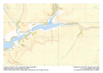 "Shining Clough North" Major Hazards£4.99
1:25,000 scale map covering Shining Clough North in the Peak District (approx. center SK095990).
Learn More -
 "Lees Hill" Major Hazards£4.99
1:25,000 scale map covering Lees Hill in the Peak District (approx. center SE003003).
Learn More -
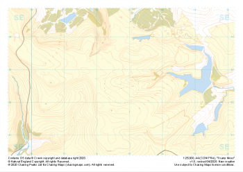
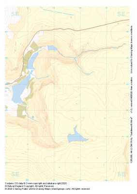 "Saddleworth Moor" Major Hazards£4.99
1:25,000 scale map covering Saddleworth Moor in the Peak District (approx. center SE035035).
Learn More -
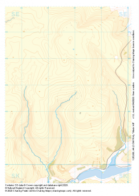 "Black Hill" Major Hazards£4.99
1:25,000 scale map covering Black Hill in the Peak District (approx. center SE078025).
Learn More -
 "Derwent Moors" Major Hazards£4.99
1:25,000 scale map covering Derwent Moors in the Peak District (approx. center SK203900).
Learn More -
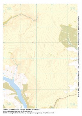
 "Nether Moor" Major Hazards£4.99
1:25,000 scale map covering Nether Moor in the Peak District (approx. center SK140877).
Learn More -
 "Harden Moor" Major Hazards£4.99
1:25,000 scale map covering Harden Moor in the Peak District (approx. center SK160990).
Learn More -
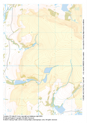
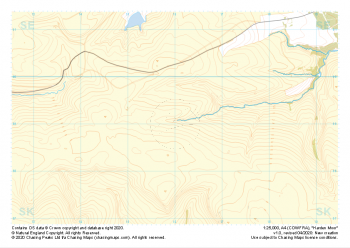
 "Kinder Scout Central" Major Hazards£4.99
1:25,000 scale map covering Kinder Scout Central in the Peak District (approx. center SK094880).
Learn More