We're constantly adding to our selection of pre-defined areas. Take a look at the map below to see where we have already covered or which areas are about to be released. We're still working on the interactive map and how it integrates with our shop, so please bear with us while we add functionality.
Mapping shown in the interactive map is intended for overview purposes only and does not represent the mapping provided in our products.
Areas
-
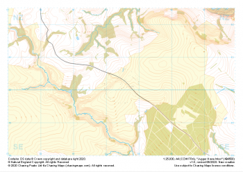 "Jugger Howe Moor" Major Hazards£4.99
1:25,000 scale map covering Jugger Howe Moor in the North Yorkshire (approx. center NZ945003).
Learn More -
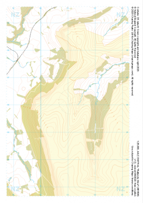
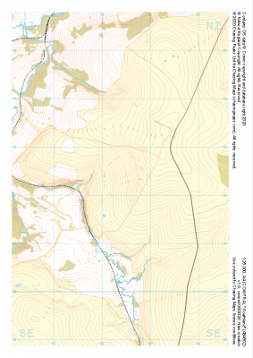 "Goathland" Major Hazards£4.99
1:25,000 scale map covering Goathland in the North Yorkshire (approx. center NZ844023).
Learn More -
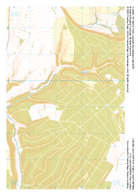 "Dalby Forest" Major Hazards£4.99
1:25,000 scale map covering Dalby Forest in the North Yorkshire (approx. center SE874893).
Learn More -
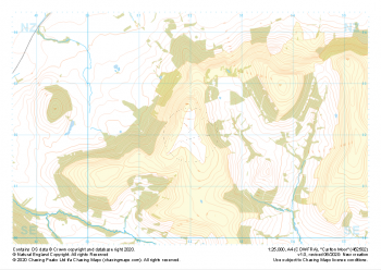 "Carlton Moor" Major Hazards£4.99
1:25,000 scale map covering Carlton Moor in the North Yorkshire (approx. center NZ520020).
Learn More -
 "Battersby Moor" Major Hazards£4.99
1:25,000 scale map covering Westerdale Moor in the North Yorkshire (approx. center NZ677019).
Learn More -
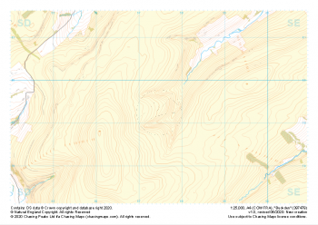 "Buckden" Major Hazards£4.99
1:25,000 scale map covering Buckden in the North Yorkshire (approx. center SD975793).
Learn More -
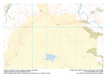 "Burnsall and Thorpe Fell" Major Hazards£4.99
1:25,000 scale map covering Burnsall and Thorpe Fell in the North Yorkshire (approx. center SE015593).
Learn More -
 "Moel Famau West" Major Hazards£4.99
1:25,000 scale map covering Moel Famau West in the North Wales (approx. center SJ153645).
Learn More -
 "Eglwyseg Mountain" Major Hazards£4.99
1:25,000 scale map covering Eglwyseg Mountain in the North Wales (approx. center SJ233465).
Learn More -
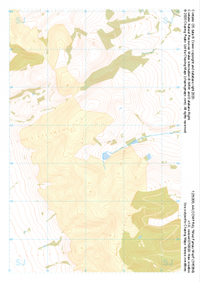
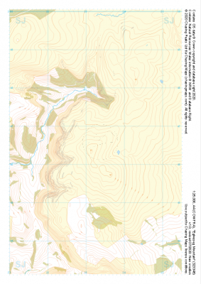
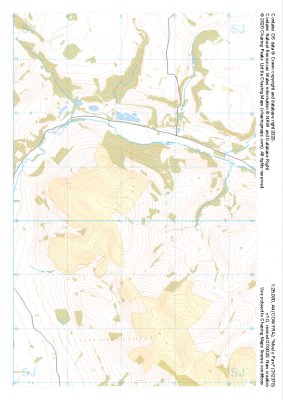 "Moel y Parc" Major Hazards£4.99
1:25,000 scale map covering Moel y Parc in the North Wales (approx. center SJ123703).
Learn More