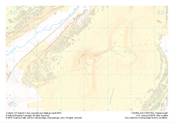
We're constantly adding to our selection of pre-defined areas. Take a look at the map below to see where we have already covered or which areas are about to be released. We're still working on the interactive map and how it integrates with our shop, so please bear with us while we add functionality.
Mapping shown in the interactive map is intended for overview purposes only and does not represent the mapping provided in our products.
Areas
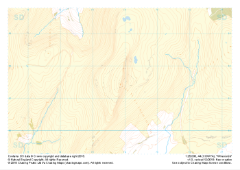
- "Helvellyn" Natural Features£4.99
1:25,000 scale map covering Helvellyn (approx. center NY354155).
Helvellyn stands as one of the best known peaks in the Lake District National Park. Home to the stunning horseshoe comprising the classic scrambles of Swirral Edge and Striding Edge as well as the Lake District Fell Top Assessors during the winter months providing the mountain community with vital updates on ground conditions for the wider area. While she can be beautiful and calm in any season she is also known to show her teeth and accidents on the edges are frequent, especially in the winter months.
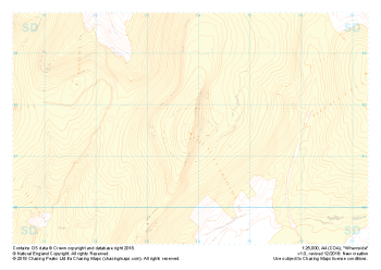
Learn More - "Helvellyn" Landform+£4.99
1:25,000 scale map covering Helvellyn (approx. center NY354155).
Helvellyn stands as one of the best known peaks in the Lake District National Park. Home to the stunning horseshoe comprising the classic scrambles of Swirral Edge and Striding Edge as well as the Lake District Fell Top Assessors during the winter months providing the mountain community with vital updates on ground conditions for the wider area. While she can be beautiful and calm in any season she is also known to show her teeth and accidents on the edges are frequent, especially in the winter months.
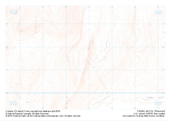
Learn More - "Helvellyn" Landform£4.99
1:25,000 scale map covering Helvellyn (approx. center NY354155).
Helvellyn stands as one of the best known peaks in the Lake District National Park. Home to the stunning horseshoe comprising the classic scrambles of Swirral Edge and Striding Edge as well as the Lake District Fell Top Assessors during the winter months providing the mountain community with vital updates on ground conditions for the wider area. While she can be beautiful and calm in any season she is also known to show her teeth and accidents on the edges are frequent, especially in the winter months.
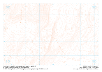
Learn More - "Helvellyn" Contour Only£4.99
1:25,000 scale map covering Helvellyn (approx. center NY354155).
Helvellyn stands as one of the best known peaks in the Lake District National Park. Home to the stunning horseshoe comprising the classic scrambles of Swirral Edge and Striding Edge as well as the Lake District Fell Top Assessors during the winter months providing the mountain community with vital updates on ground conditions for the wider area. While she can be beautiful and calm in any season she is also known to show her teeth and accidents on the edges are frequent, especially in the winter months.
Learn More - "Helvellyn" Collection£10.99
Our full set of 1:25,000 scale maps covering Helvellyn (approx. center NY354155).
Helvellyn stands as one of the best known peaks in the Lake District National Park. Home to the stunning horseshoe comprising the classic scrambles of Swirral Edge and Striding Edge as well as the Lake District Fell Top Assessors during the winter months providing the mountain community with vital updates on ground conditions for the wider area. While she can be beautiful and calm in any season she is also known to show her teeth and accidents on the edges are frequent, especially in the winter months.
Learn More - "Hart Crag" Major Hazards£4.99
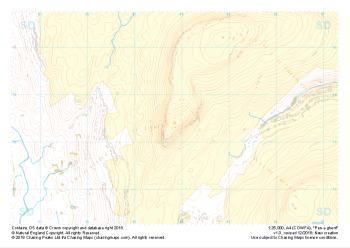
1:25,000 scale map covering Hart Crag and Dovedale (approx. center NY374110).
This area south of the famous Helvellyn is often overlooked but provides some beautifully non-crowded alternatives. Navigationally this area provides many opportunities to practice contour and slope aspect work.
Learn More - "Hart Crag" Natural Features£4.99
1:25,000 scale map covering Hart Crag and Dovedale (approx. center NY374110).
This area south of the famous Helvellyn is often overlooked but provides some beautifully non-crowded alternatives. Navigationally this area provides many opportunities to practice contour and slope aspect work.
Learn More - "Hart Crag" Landform+£4.99
1:25,000 scale map covering Hart Crag and Dovedale (approx. center NY374110).
This area south of the famous Helvellyn is often overlooked but provides some beautifully non-crowded alternatives. Navigationally this area provides many opportunities to practice contour and slope aspect work.
Learn More - "Hart Crag" Landform£4.99
1:25,000 scale map covering Hart Crag and Dovedale (approx. center NY374110).
This area south of the famous Helvellyn is often overlooked but provides some beautifully non-crowded alternatives. Navigationally this area provides many opportunities to practice contour and slope aspect work.
Learn More - "Hart Crag" Contour Only£4.99
1:25,000 scale map covering Hart Crag and Dovedale (approx. center NY374110).
This area south of the famous Helvellyn is often overlooked but provides some beautifully non-crowded alternatives. Navigationally this area provides many opportunities to practice contour and slope aspect work.
Learn More