We're constantly adding to our selection of pre-defined areas. Take a look at the map below to see where we have already covered or which areas are about to be released. We're still working on the interactive map and how it integrates with our shop, so please bear with us while we add functionality.
Mapping shown in the interactive map is intended for overview purposes only and does not represent the mapping provided in our products.
Areas
-
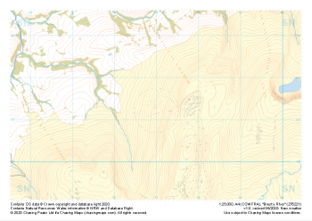 "Brest y Rhos" Major Hazards£4.99
1:25,000 scale map covering Brest y Rhos in the South Wales (approx. center SN770212).
Learn More -
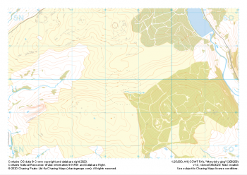 "Mynydd-y-glog" Major Hazards£4.99
1:25,000 scale map covering Mynydd-y-glog in the South Wales (approx. center SN985098).
Learn More -
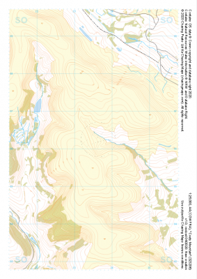
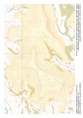 "Pen Allt-Mawr" Major Hazards£4.99
1:25,000 scale map covering Pen Allt-Mawr in the South Wales (approx. center SO211235).
Learn More -
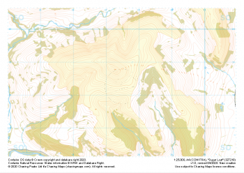 "Sugar Loaf" Major Hazards£4.99
1:25,000 scale map covering Sugar Loaf in the South Wales (approx. center SO275183).
Learn More -
 "Cribarth" Major Hazards£4.99
1:25,000 scale map covering Cribarth in the South Wales (approx. center SN832169).
Learn More -
 "Twyn Mwyalchod" Major Hazards£4.99
1:25,000 scale map covering Twyn Mwyalchod in the South Wales (approx. center SO011164).
Learn More -
 "Garn Ddu" Major Hazards£4.99
1:25,000 scale map covering Garn Ddu in the South Wales (approx. center SO034121).
Learn More -
 "Cefn Moel" Major Hazards£4.99
1:25,000 scale map covering Cefn Moel in the South Wales (approx. center SO164244).
Learn More -
 "Coety Mountain" Major Hazards£4.99
1:25,000 scale map covering Coety Mountain in the South Wales (approx. center SO235061).
Learn More -
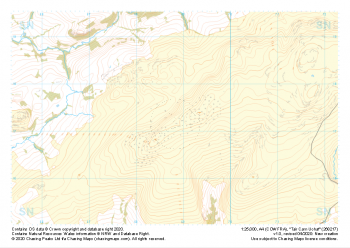 "Tair Carn Uchaf" Major Hazards£4.99
1:25,000 scale map covering Tair Carn Uchaf in the South Wales (approx. center SN688172).
Learn More