We're constantly adding to our selection of pre-defined areas. Take a look at the map below to see where we have already covered or which areas are about to be released. We're still working on the interactive map and how it integrates with our shop, so please bear with us while we add functionality.
Mapping shown in the interactive map is intended for overview purposes only and does not represent the mapping provided in our products.
Areas
-
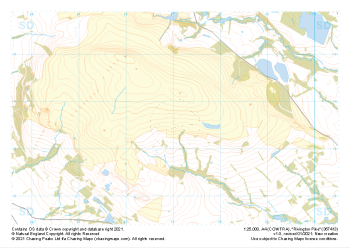
 "Darwen Moor" Collection£9.99
1:25,000 scale map covering Darwen Moor in the Midlands (approx. center SD683191).
Learn More -
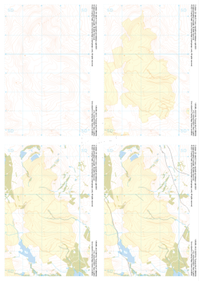
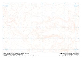
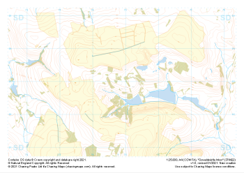
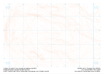 "Rivington Pike" Contour Only£4.99
1:25,000 scale map covering Rivington Pike in the Midlands (approx. center SD670137).
Learn More -
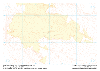 "Rivington Pike" Landform+£4.99
1:25,000 scale map covering Rivington Pike in the Midlands (approx. center SD670137).
Learn More -
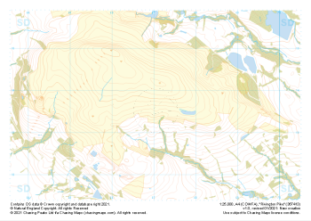 "Rivington Pike" Natural Features£4.99
1:25,000 scale map covering Rivington Pike in the Midlands (approx. center SD670137).
Learn More -
 "Rivington Pike" Major Hazards£4.99
1:25,000 scale map covering Rivington Pike in the Midlands (approx. center SD670137).
Learn More -
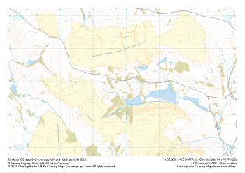
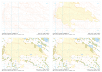 "Rivington Pike" Collection£9.99
1:25,000 scale map covering Rivington Pike in the Midlands (approx. center SD670137).
Learn More -
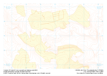
 "Oswaldwistle Moor" Contour Only£4.99
1:25,000 scale map covering Oswaldwistle Moor in the Midlands (approx. center SD749230).
Learn More -
 "Oswaldwistle Moor" Landform+£4.99
1:25,000 scale map covering Oswaldwistle Moor in the Midlands (approx. center SD749230).
Learn More -
 "Oswaldwistle Moor" Natural Features£4.99
1:25,000 scale map covering Oswaldwistle Moor in the Midlands (approx. center SD749230).
Learn More -
 "Oswaldwistle Moor" Major Hazards£4.99
1:25,000 scale map covering Oswaldwistle Moor in the Midlands (approx. center SD749230).
Learn More