Dartmoor
-
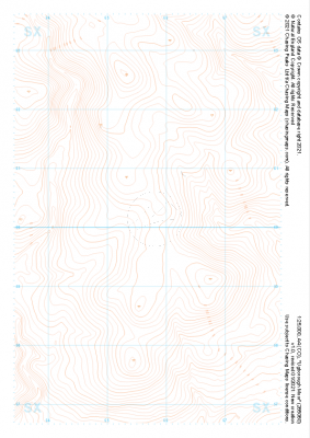
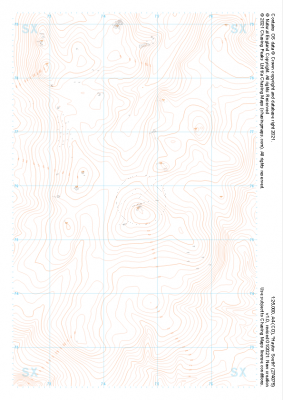 "Haytor South" Landform£4.99
1:25,000 scale map covering Haytor South in the Dartmoor (approx. center SX746757).
Learn More -
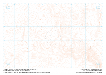
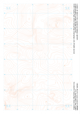
 "Haytor North" Landform£4.99
1:25,000 scale map covering Haytor North in the Dartmoor (approx. center SX757793).
Learn More -
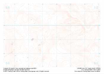
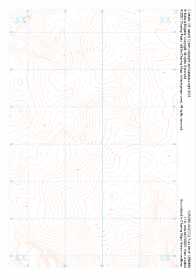
 "Hexworthy" Landform£4.99
1:25,000 scale map covering Hexworthy in the Dartmoor (approx. center SX667734).
Learn More -
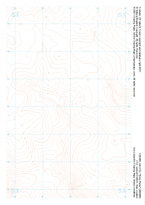
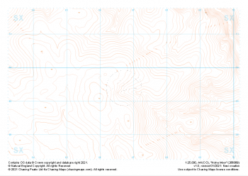 "Holne Moor" Landform£4.99
1:25,000 scale map covering Holne Moor in the Dartmoor (approx. center SX667695).
Learn More -
 "Ugborough Moor" Landform£4.99
1:25,000 scale map covering Ugborough Moor in the Dartmoor (approx. center SX657601).
Learn More -
 "Lynch Common" Landform£4.99
1:25,000 scale map covering Lynch Common in the Dartmoor (approx. center SX553661).
Learn More -
 "Lee Moor" Landform£4.99
1:25,000 scale map covering Lee Moor in the Dartmoor (approx. center SX598661).
Learn More -
 "Erme Plains" Landform£4.99
1:25,000 scale map covering Erme Plains in the Dartmoor (approx. center SX639661).
Learn More -
 "Dean Moor" Landform£4.99
1:25,000 scale map covering Dean Moor in the Dartmoor (approx. center SX682661).
Learn More -
 "Great Links Tor" Landform£4.99
1:25,000 scale map covering Dartmoor's Great Links Tor (approx. center SX552867).
A great area for navigation practice, Dartmoor's Great Links Tor borders the MoD training areas of Okehampton and Willsworthy. Live firing and exercise times are published by the MoD and a quick search for "Dartmoor firing times" should form part of your planning in this area. On the ground red flags by day and red lights at night will show the range is being used for live firing and it is in your best interest to not cross and indeed steer well clear of the line of red and white marker posts.
Learn More