Lake District
-
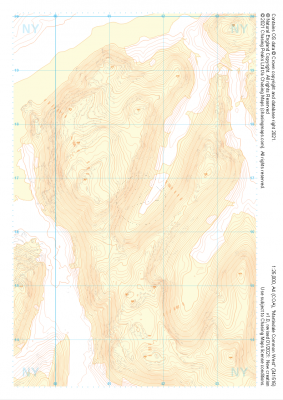 "Martindale Common West" Landform+£4.99
1:25,000 scale map covering Martindale Common West in the Lake District (approx. center NY415166).
Learn More -
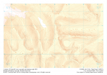 "High Street" Landform+£4.99
1:25,000 scale map covering High Street in the Lake District (approx. center NY439113).
Learn More -
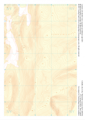 "Martindale Common East" Landform+£4.99
1:25,000 scale map covering Martindale Common East in the Lake District (approx. center NY453166).
Learn More -
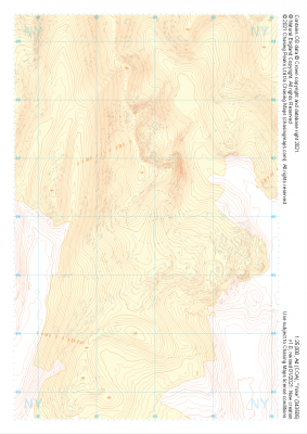 "Yoke" Landform+£4.99
1:25,000 scale map covering Yoke in the Lake District (approx. center NY438060).
Learn More -
 "Sadgill" Landform+£4.99
1:25,000 scale map covering Sadgill in the Lake District (approx. center NY480060).
Learn More -
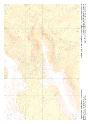
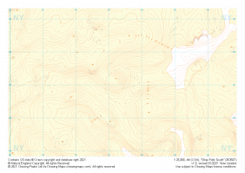 "Shap Fells South" Landform+£4.99
1:25,000 scale map covering Shap Fells South in the Lake District (approx. center NY534071).
Learn More -
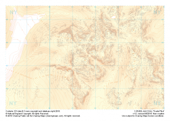 "Scafell Pike" Landform+£4.99
1:25,000 scale map covering Scafell Pike in the Lake District (approx. center NY215075).
The highest summit in England sits within the beautiful western fells of the Lake District National Park.
Learn More -
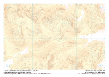
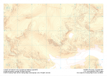 "Langdale NW" Landform+£4.99
1:25,000 scale map covering Langdale's North West corner (approx. center NY275075).
Known for its stunning countryside, tricky navigational terrain and beautiful wild camping spots, the Langdale Fells provide a true mountain adventure for every type of explorer.
Learn More -
 "Langdale SW" Landform+£4.99
1:25,000 scale map covering Langdale's North West corner (approx. center NY275035).
Known for its stunning countryside, tricky navigational terrain and beautiful wild camping spots, the Langdale Fells provide a true mountain adventure for every type of explorer.
Learn More -
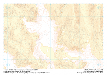 "Langdale NE" Landform+£4.99
1:25,000 scale map covering Langdale's North East corner (approx. center NY345075).
Known for its stunning countryside, tricky navigational terrain and beautiful wild camping spots, the Langdale Fells provide a true mountain adventure for every type of explorer.
Learn More