North Wales
-
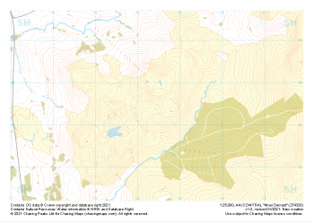 "Moel Oernant" Major Hazards£4.99
1:25,000 scale map covering Moel Oernant in the North Wales (approx. center SH745335).
Learn More -
 "Dduallt" Major Hazards£4.99
1:25,000 scale map covering Dduallt in the North Wales (approx. center SH813275).
Learn More -
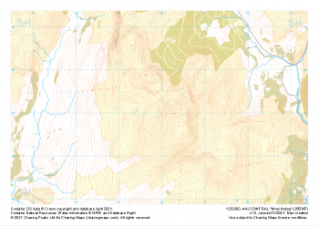 "Moel Hebog" Major Hazards£4.99
1:25,000 scale map covering Moel Hebog in the North Wales (approx. center SH559471).
Learn More -
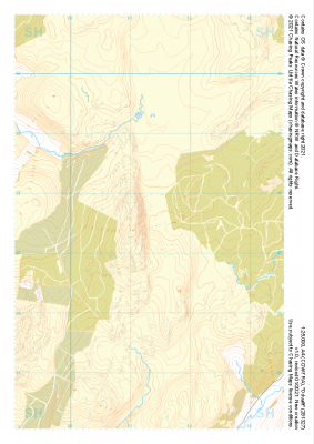
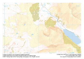 "Craig Cwmbychan" Major Hazards£4.99
1:25,000 scale map covering Craig Cwmbychan in the North Wales (approx. center SH533557).
Learn More -
 "Llanberis" Major Hazards£4.99
1:25,000 scale map covering Llanberis in the North Wales (approx. center SH556603).
Learn More -
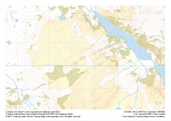
 "Snowdon NW" Major Hazards£4.99
1:25,000 scale map covering Snowdon NW in the North Wales (approx. center SH580568).
Learn More -
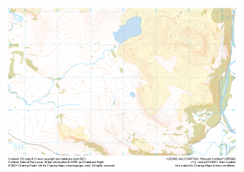 "Mynydd Gorllwyn" Major Hazards£4.99
1:25,000 scale map covering Mynydd Gorllwyn in the North Wales (approx. center SH560429).
Learn More -
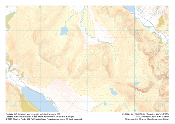
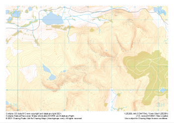 "Cwm Silyn" Major Hazards£4.99
1:25,000 scale map covering Cwm Silyn in the North Wales (approx. center SH530513).
Learn More -
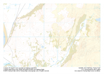 Free Sample "Tyddyn Felin" Major Hazards£0.00
1:25,000 scale map covering the area around Tyddyn Felin in North Wales (approx. center SH605295).
Part of our FREE sample maps range, this map featuring our "Major Hazards" features and symbology is the perfect showcase for our "off-the-shelf" contour mapping.
Learn More -
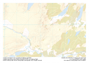 "Crimpiau and Capel Curig" Major Hazards£4.99
1:25,000 scale map covering the area around Crimpiau and Capel Curig in North Wales (approx. center SH735595).
Crimpiau near Capel Curig is perfectly suited to mountain navigation and micro navigation training. Thanks to its complexity, the area is used frequently by instructors and centres in the area, including the national mountain centre and the forces adventurous training unit.
Learn More