North Yorkshire
-
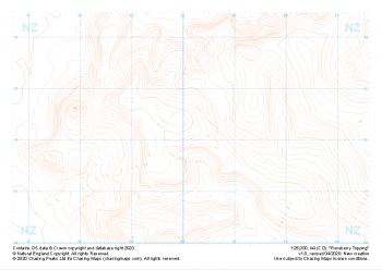 "Roseberry Topping" Landform£4.99
1:25,000 scale map covering Roseberry Topping in the Yorkshire Dales (approx. center NZ602121).
Learn More -
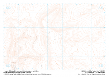
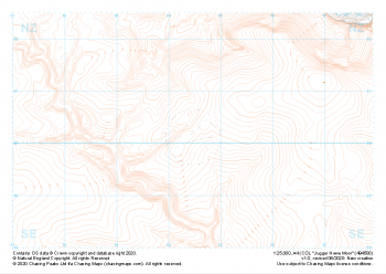 "Jugger Howe Moor" Landform£4.99
1:25,000 scale map covering Jugger Howe Moor in the North Yorkshire (approx. center NZ945003).
Learn More -
 "Goathland" Landform£4.99
1:25,000 scale map covering Goathland in the North Yorkshire (approx. center NZ844023).
Learn More -
 "Dalby Forest" Landform£4.99
1:25,000 scale map covering Dalby Forest in the North Yorkshire (approx. center SE874893).
Learn More -
 "Grassington Moor" Landform£4.99
1:25,000 scale map covering Grassington Moor in the North Yorkshire (approx. center SE023685).
Learn More -
 "Ilkley" Landform£4.99
1:25,000 scale map covering Ilkley in the North Yorkshire (approx. center SE105448).
Learn More -
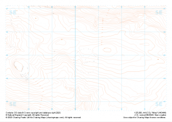
 "Lodge Moor" Landform£4.99
1:25,000 scale map covering Lodge Moor in the North Yorkshire (approx. center SE005743).
Learn More -
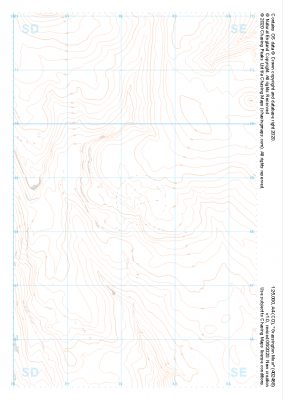
 "Buckden" Landform£4.99
1:25,000 scale map covering Buckden in the North Yorkshire (approx. center SD975793).
Learn More -
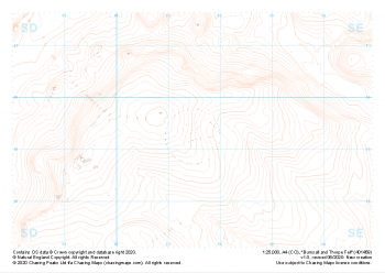 "Burnsall and Thorpe Fell" Landform£4.99
1:25,000 scale map covering Burnsall and Thorpe Fell in the North Yorkshire (approx. center SE015593).
Learn More -
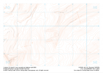
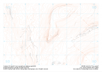 "Pen-y-ghent" Landform£4.99
1:25,000 scale map covering Pen-y-ghent in the Yorkshire Dales (approx. center SD839734).
Learn More