North Yorkshire
-
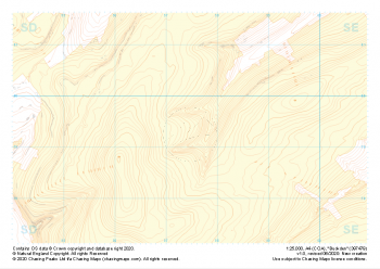 "Buckden" Landform+£4.99
1:25,000 scale map covering Buckden in the North Yorkshire (approx. center SD975793).
Learn More -
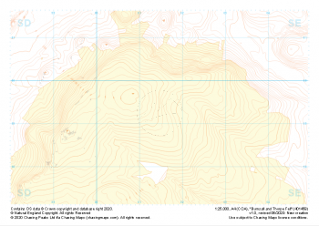 "Burnsall and Thorpe Fell" Landform+£4.99
1:25,000 scale map covering Burnsall and Thorpe Fell in the North Yorkshire (approx. center SE015593).
Learn More -
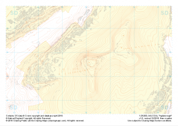
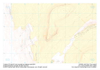 "Pen-y-ghent" Landform+£4.99
1:25,000 scale map covering Pen-y-ghent in the Yorkshire Dales (approx. center SD839734).
Learn More -
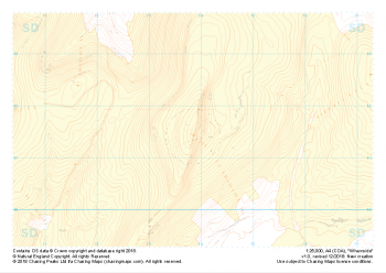 "Whernside" Landform+£4.99
1:25,000 scale map covering Whernside in the Yorkshire Dales (approx. center SD738814).
Learn More -
 "Ingleborough" Landform+£4.99
1:25,000 scale map covering Ingleborough in the Yorkshire Dales (approx. center SD741746).
Learn More -
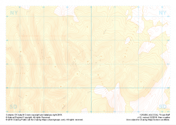 "Green Bell" Landform+£4.99
1:25,000 scale map covering Green Bell in the Yorkshire Dales (approx. center NY699011).
Learn More -
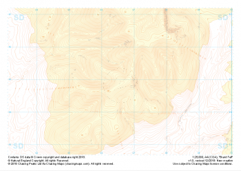 "Brant Fell" Landform+£4.99
1:25,000 scale map covering Brant Fell in the Yorkshire Dales (approx. center SD666948).
Learn More -
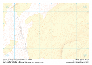
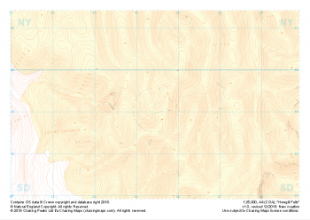 "Howgill Fells" Landform+£4.99
1:25,000 scale map covering Howgill Fells in the Yorkshire Dales (approx. center SD654990).
Learn More -
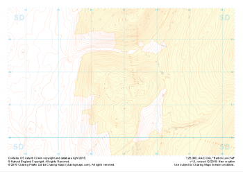 "Barbon Low Fell" Landform+£4.99
1:25,000 scale map covering Barbon Low Fell in the Yorkshire Dales (approx. center SD649816).
Learn More -
 "Horton" Landform+£4.99
1:25,000 scale map covering Horton in the Yorkshire Dales (approx. center SD825763).
Learn More