Mapping Sets
-
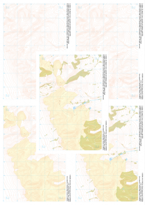
 "Twmpa" Collection£10.99
1:25,000 scale map covering Twmpa in the South Wales (approx. center SO212367).
Learn More -
 "Mynydd Llangynidr" Collection£10.99
1:25,000 scale map covering Mynydd Llangynidr in the South Wales (approx. center SO121143).
Learn More -
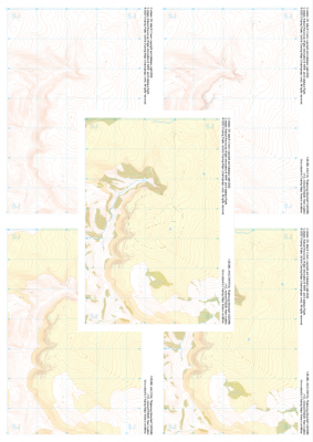
 "Buckden" Collection£10.99
1:25,000 scale map covering Buckden in the North Yorkshire (approx. center SD975793).
Learn More -
 "Burnsall and Thorpe Fell" Collection£10.99
1:25,000 scale map covering Burnsall and Thorpe Fell in the North Yorkshire (approx. center SE015593).
Learn More -
 "Moel Famau West" Collection£10.99
1:25,000 scale map covering Moel Famau West in the North Wales (approx. center SJ153645).
Learn More -
 "Eglwyseg Mountain" Collection£10.99
1:25,000 scale map covering Eglwyseg Mountain in the North Wales (approx. center SJ233465).
Learn More -
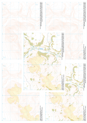 "Moel y Parc" Collection£10.99
1:25,000 scale map covering Moel y Parc in the North Wales (approx. center SJ123703).
Learn More -
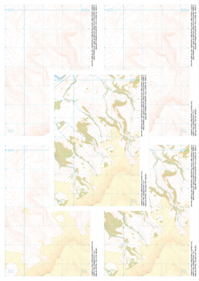
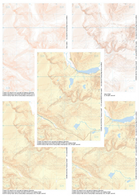
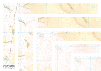 "Great Links Tor" Collection£10.99
Our full set of 1:25,000 scale maps covering Dartmoor's Great Links Tor (approx. center SX552867).
A great area for navigation practice, Dartmoor's Great Links Tor borders the MoD training areas of Okehampton and Willsworthy. Live firing and exercise times are published by the MoD and a quick search for "Dartmoor firing times" should form part of your planning in this area. On the ground red flags by day and red lights at night will show the range is being used for live firing and it is in your best interest to not cross and indeed steer well clear of the line of red and white marker posts.
Learn More -
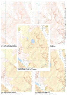
 "Glyderau Central" Collection£10.99
1:25,000 scale map covering Glyderau Central in the North Wales (approx. center SH643585).
Learn More -
 "Glyderau West" Collection£10.99
1:25,000 scale map covering Glyderau West in the North Wales (approx. center SH617611).
Learn More