Contour Mapping
-
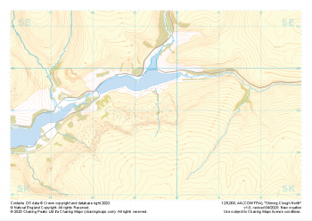 "Shining Clough North" Major Hazards£4.99
1:25,000 scale map covering Shining Clough North in the Peak District (approx. center SK095990).
Learn More -
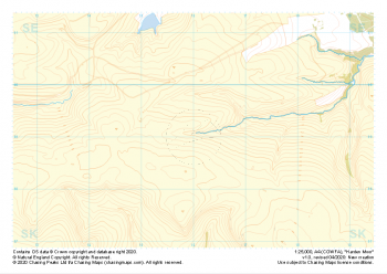 "Harden Moor" Natural Features£4.99
1:25,000 scale map covering Harden Moor in the Peak District (approx. center SK160990).
Learn More -
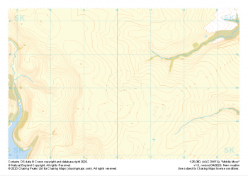 "Middle Moss" Natural Features£4.99
1:25,000 scale map covering Middle Moss in the Peak District (approx. center SK202950).
Learn More -
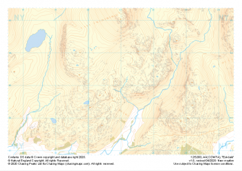
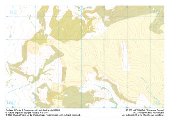 "Roseberry Topping" Natural Features£4.99
1:25,000 scale map covering Roseberry Topping in the Yorkshire Dales (approx. center NZ602121).
Learn More -
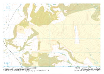 "Roseberry Topping" Major Hazards£4.99
1:25,000 scale map covering Roseberry Topping in the Yorkshire Dales (approx. center NZ602121).
Learn More -
 "Eskdale" Natural Features£4.99
1:25,000 scale map covering Eskdale in the Lake District (approx. center NY210030).
Thank you to Chris Ensoll Mountain Guide for sponsoring our maps of this area for the wider outdoor community. Learn More -
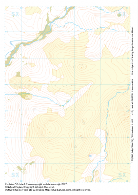 "Princetown North" Natural Features£4.99
1:25,000 scale map covering Princetown North in the Dartmoor (approx. center SX538775).
Learn More -
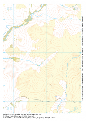 "Princetown North" Major Hazards£4.99
1:25,000 scale map covering Princetown North in the Dartmoor (approx. center SX538775).
Learn More -
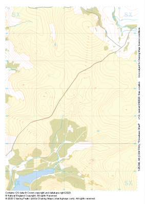
 "Princetown West" Natural Features£4.99
1:25,000 scale map covering Princetown West in the Dartmoor (approx. center SX573715).
Learn More -
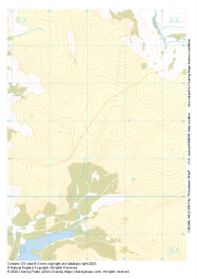
 "Princetown West" Major Hazards£4.99
1:25,000 scale map covering Princetown West in the Dartmoor (approx. center SX573715).
Learn More