Contour Mapping
-
 "Langdale Collection" Major Hazards£8.99
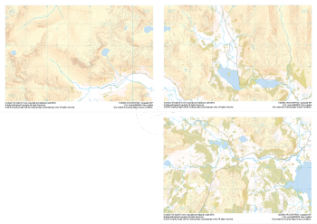
Set of 1:25,000 scale maps covering the Langdale Valley and surrounding area.
Known for its stunning countryside, tricky navigational terrain and beautiful wild camping spots, the Langdale Fells provide a true mountain adventure for every type of explorer.
Learn More -
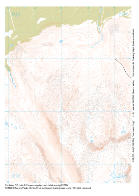 "Lurchers Crag" Major Hazards£4.99
1:25,000 scale map covering Lurchers Crag in the Scottish Highlands (approx. center NH972045).
Learn More -
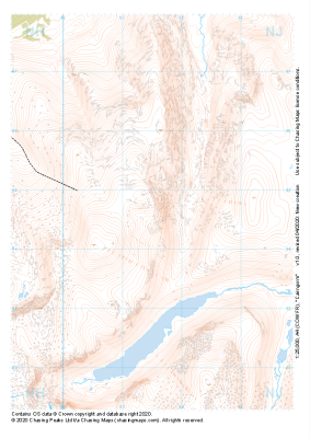 "Cairngorm" Major Hazards£4.99
1:25,000 scale map covering Cairngorm in the Scottish Highlands (approx. center NJ015045).
Learn More -
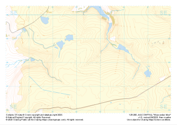 "Wessenden Moor" Major Hazards£4.99
1:25,000 scale map covering Wessenden Moor in the Peak District (approx. center SE045080).
Learn More -
 "Grains Moss" Major Hazards£4.99
1:25,000 scale map covering Grains Moss in the Peak District (approx. center SE128025).
Learn More -
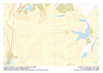
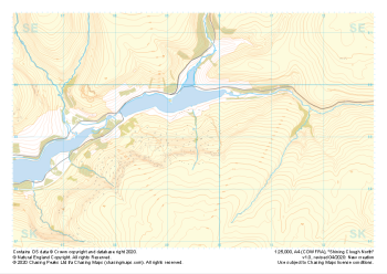 "Shining Clough North" Major Hazards£4.99
1:25,000 scale map covering Shining Clough North in the Peak District (approx. center SK095990).
Learn More -
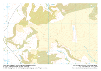 "Roseberry Topping" Major Hazards£4.99
1:25,000 scale map covering Roseberry Topping in the Yorkshire Dales (approx. center NZ602121).
Learn More -
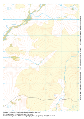 "Princetown North" Major Hazards£4.99
1:25,000 scale map covering Princetown North in the Dartmoor (approx. center SX538775).
Learn More -
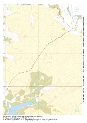 "Princetown West" Major Hazards£4.99
1:25,000 scale map covering Princetown West in the Dartmoor (approx. center SX573715).
Learn More -
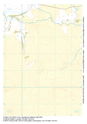 "Princetown East" Major Hazards£4.99
1:25,000 scale map covering Princetown East in the Dartmoor (approx. center SX613715).
Learn More