Contour Mapping
-
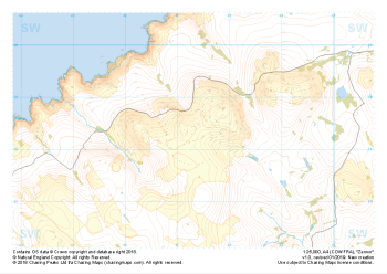 "Zennor" Major Hazards£4.99
1:25,000 scale map covering Zennor in the South West (approx. center SW473382).
Learn More -
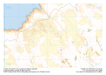 "Rosemergy" Major Hazards£4.99
1:25,000 scale map covering Rosemergy in the South West (approx. center SW434355).
Learn More -
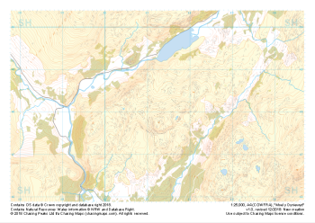 "Moel y Dyniewyd" Major Hazards£4.99
1:25,000 scale map covering Moel y Dyniewyd in North Wales (approx. center SH612480).
Learn More -
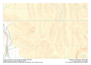 "Howgill Fells" Major Hazards£4.99
1:25,000 scale map covering Howgill Fells in the Yorkshire Dales (approx. center SD654990).
Learn More -
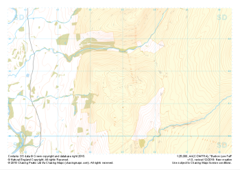 "Barbon Low Fell" Major Hazards£4.99
1:25,000 scale map covering Barbon Low Fell in the Yorkshire Dales (approx. center SD649816).
Learn More -
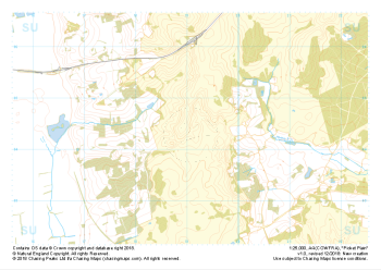 "Picket Plain" Major Hazards£4.99
1:25,000 scale map covering Picket Plain in the South West (approx. center SU191043).
Learn More -
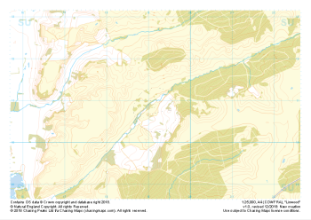 "Linwood" Major Hazards£4.99
1:25,000 scale map covering Linwood in the South West (approx. center SU192108).
Learn More -
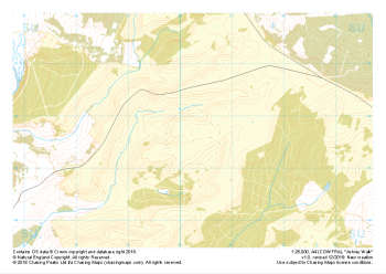 "Ashley Walk" Major Hazards£4.99
1:25,000 scale map covering Ashley Walk in the South West (approx. center SU202156).
Learn More -
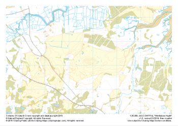 "Middlebere Heath" Major Hazards£4.99
1:25,000 scale map covering Middlebere Heath in the South West (approx. center SY948851).
Learn More -
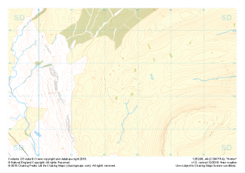 "Horton" Major Hazards£4.99
1:25,000 scale map covering Horton in the Yorkshire Dales (approx. center SD825763).
Learn More