Contour Mapping
-
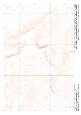 "Rhos Dringarth" Landform£4.99
1:25,000 scale map covering Rhos Dringarth in the South Wales (approx. center SN962210).
Learn More -
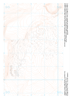 "Cefn yr Ystrad" Landform£4.99
1:25,000 scale map covering Cefn yr Ystrad in the South Wales (approx. center SO082121).
Learn More -
 "Twmpa" Landform£4.99
1:25,000 scale map covering Twmpa in the South Wales (approx. center SO212367).
Learn More -
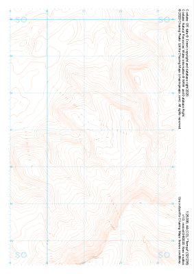
 "Mynydd Llangynidr" Landform£4.99
1:25,000 scale map covering Mynydd Llangynidr in the South Wales (approx. center SO121143).
Learn More -
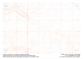 "Mynydd y Llan" Landform£4.99
1:25,000 scale map covering Mynydd y Llan in the South Wales (approx. center SN812262).
Learn More -
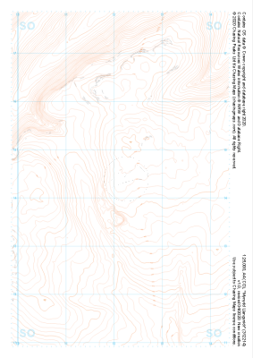
 "Grassington Moor" Landform£4.99
1:25,000 scale map covering Grassington Moor in the North Yorkshire (approx. center SE023685).
Learn More -
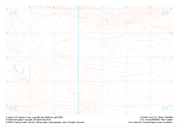 "Ilkley" Landform£4.99
1:25,000 scale map covering Ilkley in the North Yorkshire (approx. center SE105448).
Learn More -
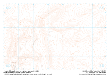 "Lodge Moor" Landform£4.99
1:25,000 scale map covering Lodge Moor in the North Yorkshire (approx. center SE005743).
Learn More -
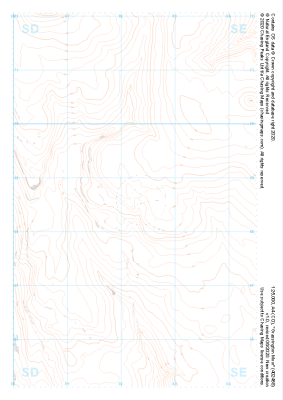
 "Buckden" Landform£4.99
1:25,000 scale map covering Buckden in the North Yorkshire (approx. center SD975793).
Learn More -
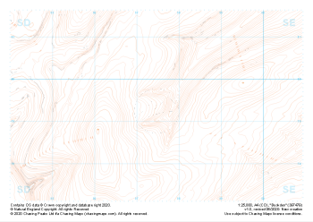
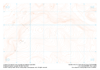 "Burnsall and Thorpe Fell" Landform£4.99
1:25,000 scale map covering Burnsall and Thorpe Fell in the North Yorkshire (approx. center SE015593).
Learn More