Contour Mapping
-
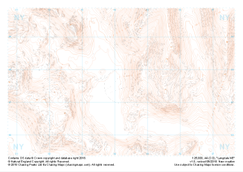
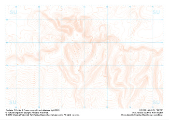 "QECP" Landform£4.99
1:25,000 scale map covering QECP in the South Downs (approx. center SU720192).
Learn More -
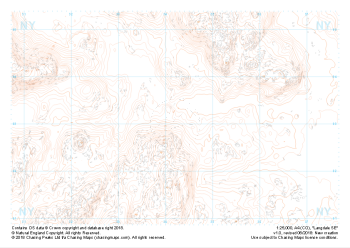
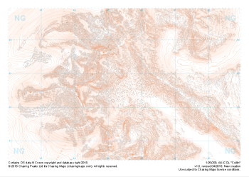 "Cuillin" Landform£4.99
1:25,000 scale map covering the famous Cuillin Ridge on the Isle of Skye (approx. center NG455225).
Boasting some of the most remote mountaineous terrain in the UK, the Cuillin Hills are described by some as the Pyrenneas of the North. Should you be lucky enough to find them on a very rare rain, mist and midge free day, they can truly feel like an outing in the Italian Alps. On any other day this complex terrain is not for the faint hearted and almost all approaches to the significant peaks will require a very good head for heights and well above average mountaineering and navigation skills.
Learn More -
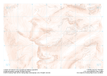
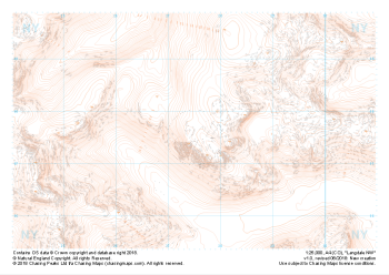 "Langdale NW" Landform£4.99
1:25,000 scale map covering Langdale's North West corner (approx. center NY275075).
Known for its stunning countryside, tricky navigational terrain and beautiful wild camping spots, the Langdale Fells provide a true mountain adventure for every type of explorer.
Learn More -
 "Langdale SW" Landform£4.99
1:25,000 scale map covering Langdale's North West corner (approx. center NY275035).
Known for its stunning countryside, tricky navigational terrain and beautiful wild camping spots, the Langdale Fells provide a true mountain adventure for every type of explorer.
Learn More -
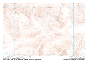
 "Langdale NE" Landform£4.99
1:25,000 scale map covering Langdale's North East corner (approx. center NY345075).
Known for its stunning countryside, tricky navigational terrain and beautiful wild camping spots, the Langdale Fells provide a true mountain adventure for every type of explorer.
Learn More -
 "Langdale SE" Landform£4.99
1:25,000 scale map covering Langdale's South East corner (approx. center NY345035).
Known for its stunning countryside, tricky navigational terrain and beautiful wild camping spots, the Langdale Fells provide a true mountain adventure for every type of explorer.
Learn More -
 "Helvellyn" Landform£4.99
1:25,000 scale map covering Helvellyn (approx. center NY354155).
Helvellyn stands as one of the best known peaks in the Lake District National Park. Home to the stunning horseshoe comprising the classic scrambles of Swirral Edge and Striding Edge as well as the Lake District Fell Top Assessors during the winter months providing the mountain community with vital updates on ground conditions for the wider area. While she can be beautiful and calm in any season she is also known to show her teeth and accidents on the edges are frequent, especially in the winter months.
Learn More -
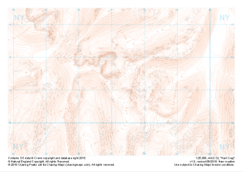 "Hart Crag" Landform£4.99
1:25,000 scale map covering Hart Crag and Dovedale (approx. center NY374110).
This area south of the famous Helvellyn is often overlooked but provides some beautifully non-crowded alternatives. Navigationally this area provides many opportunities to practice contour and slope aspect work.
Learn More -
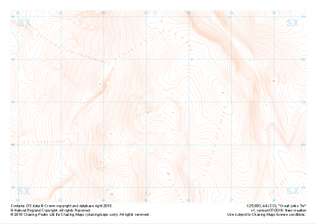 "Great Links Tor" Landform£4.99
1:25,000 scale map covering Dartmoor's Great Links Tor (approx. center SX552867).
A great area for navigation practice, Dartmoor's Great Links Tor borders the MoD training areas of Okehampton and Willsworthy. Live firing and exercise times are published by the MoD and a quick search for "Dartmoor firing times" should form part of your planning in this area. On the ground red flags by day and red lights at night will show the range is being used for live firing and it is in your best interest to not cross and indeed steer well clear of the line of red and white marker posts.
Learn More -
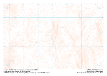 "Merrivale" Landform£4.99
1:25,000 scale map covering the area of the Merrivale Range on Dartmoor (approx. center SX590785).
The area of the Merrivale Range on Dartmoor lies to the South of the large expanse of the Okehampton Range. Here, exploring the remains of ancient settlements can provide a welcome distraction from boggy ground and seemingly identical landscape over every mound. Perfectly suited to provide even the most skilled mountain navigator with a tough challenge, there is a very good reason the MoD trains our country's soldiers on Dartmoor in the dark art of navigating.
Live firing and exercise times are published by the MoD and a quick search for "Dartmoor firing times" should form part of your planning in this area. On the ground red flags by day and red lights at night will show the range is being used for live firing and it is in your best interest to not cross and indeed steer well clear of the line of red and white marker posts.
Learn More