Contour Mapping
-
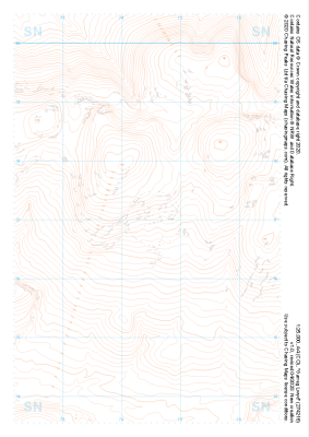 "Garreg Lwyd" Landform£4.99
1:25,000 scale map covering Garreg Lwyd in the South Wales (approx. center SN744169).
Learn More -
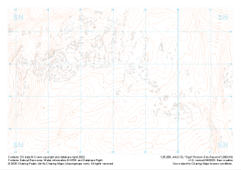 "Ogof Ffynnon Ddu Reserve" Landform£4.99
1:25,000 scale map covering Ogof Ffynnon Ddu Reserve in the South Wales (approx. center SN882144).
Learn More -
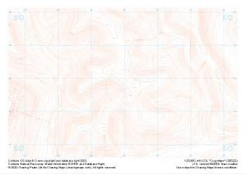
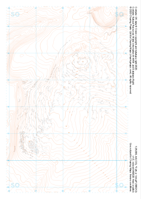
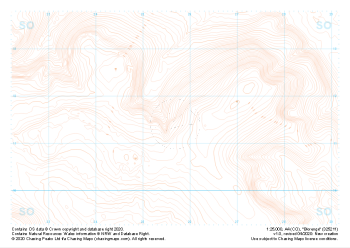 "Blorenge" Landform£4.99
1:25,000 scale map covering Blorenge in the South Wales (approx. center SO257114).
Learn More -
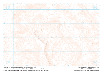 "Waun Fach" Landform£4.99
1:25,000 scale map covering Waun Fach in the South Wales (approx. center SO217281).
Learn More -
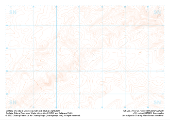
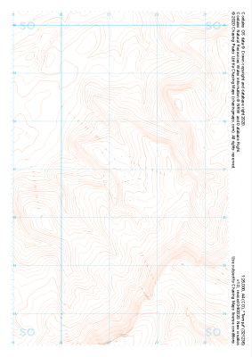
 "Crug Mawr" Landform£4.99
1:25,000 scale map covering Crug Mawr in the South Wales (approx. center SO260227).
Learn More -
 "Mynydd Myddfai" Landform£4.99
1:25,000 scale map covering Mynydd Myddfai in the South Wales (approx. center SN812305).
Learn More -
 "Tyle Garw" Landform£4.99
1:25,000 scale map covering Tyle Garw in the South Wales (approx. center SN788169).
Learn More -
 "Rhos Dringarth" Landform£4.99
1:25,000 scale map covering Rhos Dringarth in the South Wales (approx. center SN962210).
Learn More -
 "Cefn yr Ystrad" Landform£4.99
1:25,000 scale map covering Cefn yr Ystrad in the South Wales (approx. center SO082121).
Learn More -
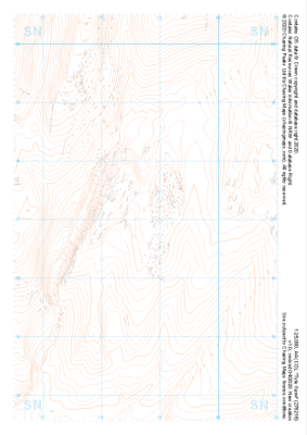
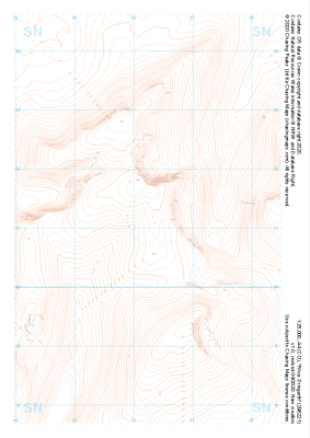
 "Twmpa" Landform£4.99
1:25,000 scale map covering Twmpa in the South Wales (approx. center SO212367).
Learn More