Contour Mapping
-
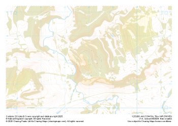
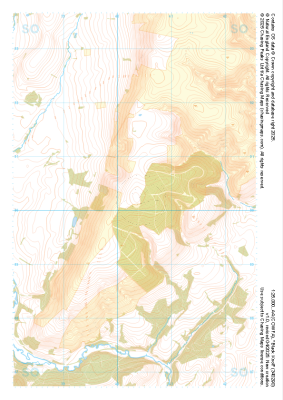 "Black Knoll" Natural Features£4.99
1:25,000 scale map covering Black Knoll in the Midlands (approx. center SO403902).
Learn More -
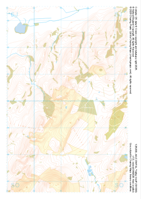
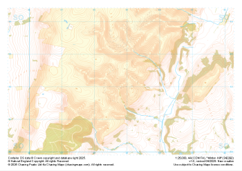 "Minton Hill" Natural Features£4.99
1:25,000 scale map covering Minton Hill in the Midlands (approx. center SO428922).
Learn More -
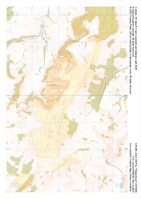
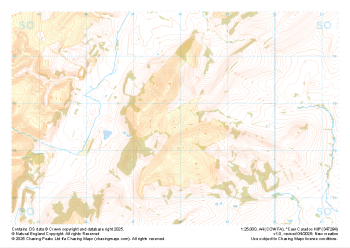 "Caer Caradoc Hill" Natural Features£4.99
1:25,000 scale map covering Caer Caradoc Hill in the Midlands (approx. center SO479947).
Learn More -
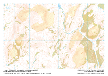 "Roundton Hill" Natural Features£4.99
1:25,000 scale map covering Roundton Hill in the Midlands (approx. center SO317953).
Learn More -
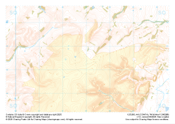 "Wild Moor" Natural Features£4.99
1:25,000 scale map covering Wild Moor in the Midlands (approx. center SO431965).
Learn More -
 "Stiperstones" Natural Features£4.99
1:25,000 scale map covering Stiperstones in the Midlands (approx. center SO373999).
Learn More -
 "Valley Knoll" Natural Features£4.99
1:25,000 scale map covering Valley Knoll in the Midlands (approx. center SJ312001).
Learn More -
 "Box Hill" Natural Features£4.99
1:25,000 scale map covering Box Hill in the South East (approx. center TQ180520).
Learn More -
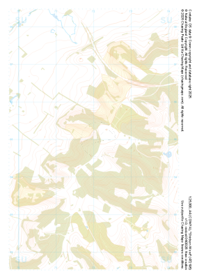 "Shirburn Wood" Natural Features£4.99
1:25,000 scale map covering Shirburn Wood in the South East (approx. center SU720950).
Learn More -
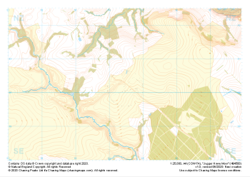 "Jugger Howe Moor" Natural Features£4.99
1:25,000 scale map covering Jugger Howe Moor in the North Yorkshire (approx. center NZ945003).
Learn More