Contour Mapping
-
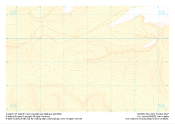 "Harden Moor" Landform+£4.99
1:25,000 scale map covering Harden Moor in the Peak District (approx. center SK160990).
Learn More -
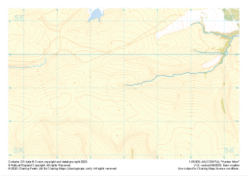 "Harden Moor" Natural Features£4.99
1:25,000 scale map covering Harden Moor in the Peak District (approx. center SK160990).
Learn More -
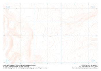 "Middle Moss" Contour Only£4.99
1:25,000 scale map covering Middle Moss in the Peak District (approx. center SK202950).
Learn More -
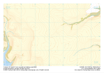
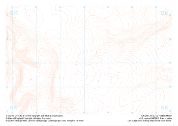 "Middle Moss" Landform£4.99
1:25,000 scale map covering Middle Moss in the Peak District (approx. center SK202950).
Learn More -
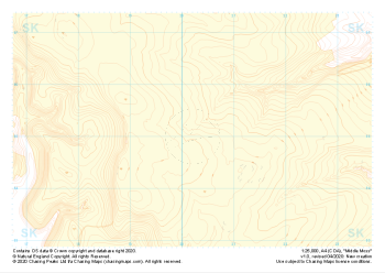 "Middle Moss" Landform+£4.99
1:25,000 scale map covering Middle Moss in the Peak District (approx. center SK202950).
Learn More -
 "Middle Moss" Natural Features£4.99
1:25,000 scale map covering Middle Moss in the Peak District (approx. center SK202950).
Learn More -
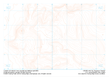
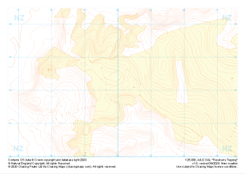
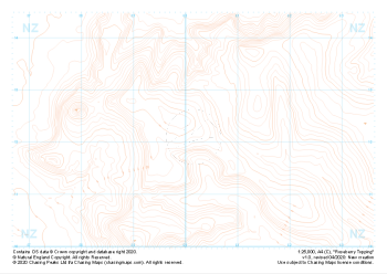 "Roseberry Topping" Contour Only£4.99
1:25,000 scale map covering Roseberry Topping in the Yorkshire Dales (approx. center NZ602121).
Learn More -
 "Roseberry Topping" Landform£4.99
1:25,000 scale map covering Roseberry Topping in the Yorkshire Dales (approx. center NZ602121).
Learn More -
 "Roseberry Topping" Landform+£4.99
1:25,000 scale map covering Roseberry Topping in the Yorkshire Dales (approx. center NZ602121).
Learn More -
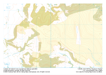 "Roseberry Topping" Natural Features£4.99
1:25,000 scale map covering Roseberry Topping in the Yorkshire Dales (approx. center NZ602121).
Learn More