Contour Mapping
-
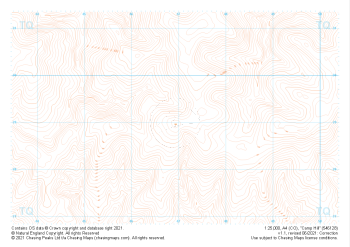
 "Camp Hill" Contour Only£4.99
1:25,000 scale map covering Camp Hill in the South East (approx. center TQ469290).
Learn More -
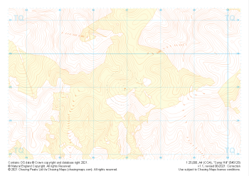
 "Camp Hill" Landform£4.99
1:25,000 scale map covering Camp Hill in the South East (approx. center TQ469290).
Learn More -
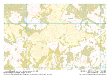
 "Camp Hill" Landform+£4.99
1:25,000 scale map covering Camp Hill in the South East (approx. center TQ469290).
Learn More -
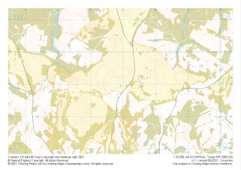
 "Camp Hill" Natural Features£4.99
1:25,000 scale map covering Camp Hill in the South East (approx. center TQ469290).
Learn More -
 "Camp Hill" Major Hazards£4.99
1:25,000 scale map covering Camp Hill in the South East (approx. center TQ469290).
Learn More -
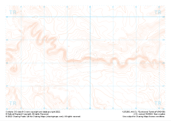 "Eurotunnel Terminal" Contour Only£4.99
1:25,000 scale map covering Eurotunnel Terminal in the South East (approx. center TR198382).
Learn More -
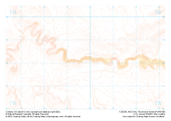 "Eurotunnel Terminal" Landform+£4.99
1:25,000 scale map covering Eurotunnel Terminal in the South East (approx. center TR198382).
Learn More -
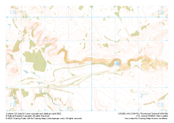 "Eurotunnel Terminal" Natural Features£4.99
1:25,000 scale map covering Eurotunnel Terminal in the South East (approx. center TR198382).
Learn More -
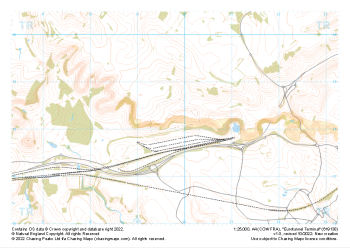 "Eurotunnel Terminal" Major Hazards£4.99
1:25,000 scale map covering Eurotunnel Terminal in the South East (approx. center TR198382).
Learn More -
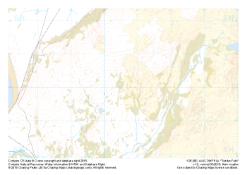 Free Sample "Tyddyn Felin" Major Hazards£0.00
1:25,000 scale map covering the area around Tyddyn Felin in North Wales (approx. center SH605295).
Part of our FREE sample maps range, this map featuring our "Major Hazards" features and symbology is the perfect showcase for our "off-the-shelf" contour mapping.
Learn More