Contour Mapping
-
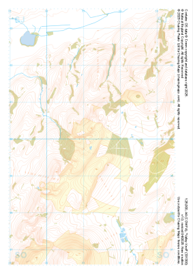 "Valley Knoll" Natural Features£4.99
1:25,000 scale map covering Valley Knoll in the Midlands (approx. center SJ312001).
Learn More -
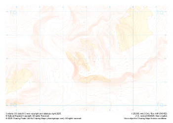
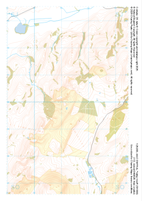 "Valley Knoll" Major Hazards£4.99
1:25,000 scale map covering Valley Knoll in the Midlands (approx. center SJ312001).
Learn More -
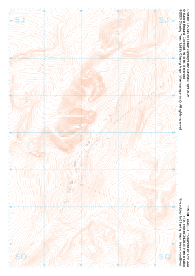
 "Wild Moor" Landform£4.99
1:25,000 scale map covering Wild Moor in the Midlands (approx. center SO431965).
Learn More -
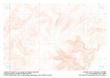
 "Box Hill" Contour Only£4.99
1:25,000 scale map covering Box Hill in the South East (approx. center TQ180520).
Learn More -
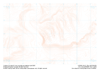
 "Box Hill" Landform+£4.99
1:25,000 scale map covering Box Hill in the South East (approx. center TQ180520).
Learn More -
 "Box Hill" Natural Features£4.99
1:25,000 scale map covering Box Hill in the South East (approx. center TQ180520).
Learn More -
 "Box Hill" Major Hazards£4.99
1:25,000 scale map covering Box Hill in the South East (approx. center TQ180520).
Learn More -
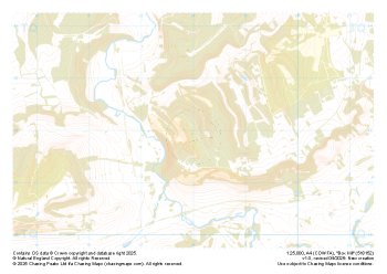
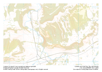
 "Stiperstones" Landform£4.99
1:25,000 scale map covering Stiperstones in the Midlands (approx. center SO373999).
Learn More -
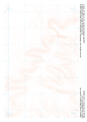 "Shirburn Wood" Contour Only£4.99
1:25,000 scale map covering Shirburn Wood in the South East (approx. center SU720950).
Learn More -
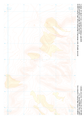 "Shirburn Wood" Landform+£4.99
1:25,000 scale map covering Shirburn Wood in the South East (approx. center SU720950).
Learn More