Contour Mapping
-
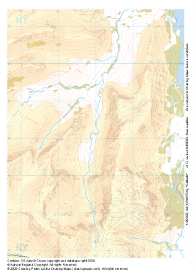
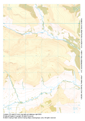 "Nether Moor" Natural Features£4.99
1:25,000 scale map covering Nether Moor in the Peak District (approx. center SK140877).
Learn More -
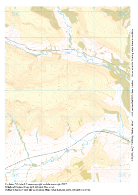 "Nether Moor" Major Hazards£4.99
1:25,000 scale map covering Nether Moor in the Peak District (approx. center SK140877).
Learn More -
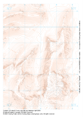 "Catbells" Landform£4.99
1:25,000 scale map covering Catbells in the Lake District (approx. center NY230180).
Learn More -
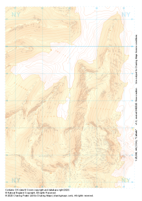 "Catbells" Landform+£4.99
1:25,000 scale map covering Catbells in the Lake District (approx. center NY230180).
Learn More -
 "Catbells" Natural Features£4.99
1:25,000 scale map covering Catbells in the Lake District (approx. center NY230180).
Learn More -
 "Catbells" Major Hazards£4.99
1:25,000 scale map covering Catbells in the Lake District (approx. center NY230180).
Learn More -
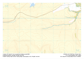 "Harden Moor" Major Hazards£4.99
1:25,000 scale map covering Harden Moor in the Peak District (approx. center SK160990).
Learn More -
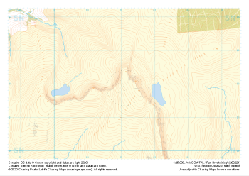
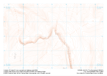 "Fan Brycheiniog" Landform£4.99
1:25,000 scale map covering Fan Brycheiniog in the South Wales (approx. center SN821219).
Learn More -
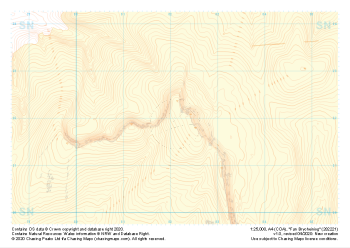 "Fan Brycheiniog" Landform+£4.99
1:25,000 scale map covering Fan Brycheiniog in the South Wales (approx. center SN821219).
Learn More -
 "Fan Brycheiniog" Natural Features£4.99
1:25,000 scale map covering Fan Brycheiniog in the South Wales (approx. center SN821219).
Learn More