Contour Mapping
-
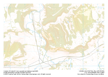
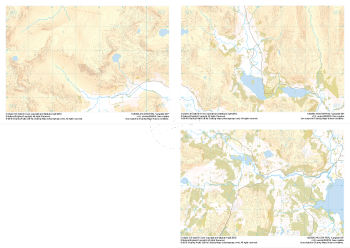
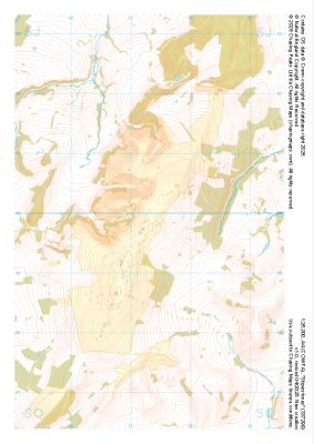 "Stiperstones" Natural Features£4.99
1:25,000 scale map covering Stiperstones in the Midlands (approx. center SO373999).
Learn More -
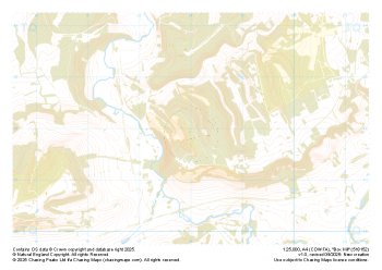
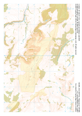 "Stiperstones" Major Hazards£4.99
1:25,000 scale map covering Stiperstones in the Midlands (approx. center SO373999).
Learn More -
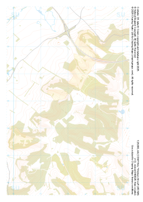
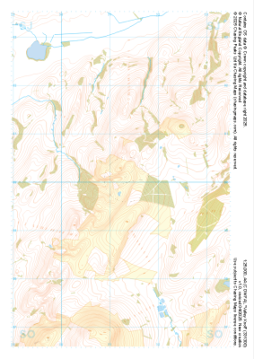 "Valley Knoll" Natural Features£4.99
1:25,000 scale map covering Valley Knoll in the Midlands (approx. center SJ312001).
Learn More -
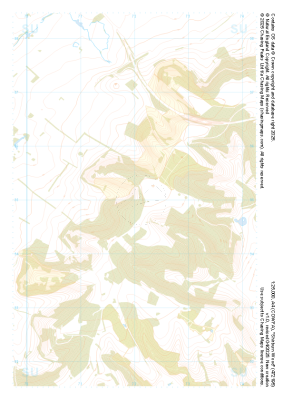
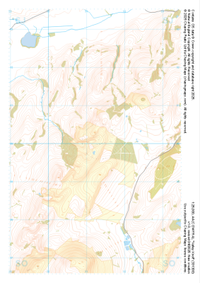 "Valley Knoll" Major Hazards£4.99
1:25,000 scale map covering Valley Knoll in the Midlands (approx. center SJ312001).
Learn More -
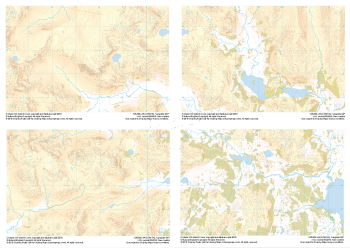
 "Box Hill" Natural Features£4.99
1:25,000 scale map covering Box Hill in the South East (approx. center TQ180520).
Learn More -
 "Box Hill" Major Hazards£4.99
1:25,000 scale map covering Box Hill in the South East (approx. center TQ180520).
Learn More -
 "Shirburn Wood" Natural Features£4.99
1:25,000 scale map covering Shirburn Wood in the South East (approx. center SU720950).
Learn More -
 "Shirburn Wood" Major Hazards£4.99
1:25,000 scale map covering Shirburn Wood in the South East (approx. center SU720950).
Learn More -
 "Langdale Collection" Major Hazards£8.99
Set of 1:25,000 scale maps covering the Langdale Valley and surrounding area.
Known for its stunning countryside, tricky navigational terrain and beautiful wild camping spots, the Langdale Fells provide a true mountain adventure for every type of explorer.
Learn More -
 "Langdale Collection" Natural Features£9.99
Set of 1:25,000 scale maps covering the Langdale Valley and surrounding area.
Known for its stunning countryside, tricky navigational terrain and beautiful wild camping spots, the Langdale Fells provide a true mountain adventure for every type of explorer.
Learn More