Contour Mapping
-
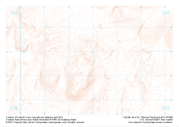
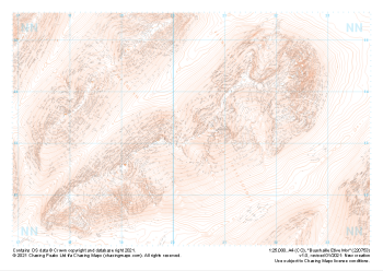 "Buachaille Etive Mor" Landform£4.99
1:25,000 scale map covering Buachaille Etive Mor in the Scottish Highlands (approx. center NN204533).
Learn More -
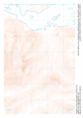
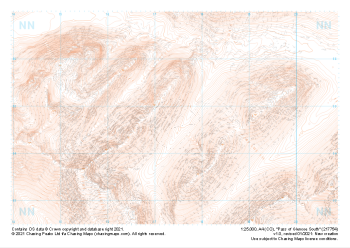 "Pass of Glencoe South" Landform£4.99
1:25,000 scale map covering Pass of Glencoe South in the Scottish Highlands (approx. center NN174547).
Learn More -
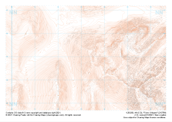 "Fionn Ghleann" Landform£4.99
1:25,000 scale map covering Fionn Ghleann in the Scottish Highlands (approx. center NN132549).
Learn More -
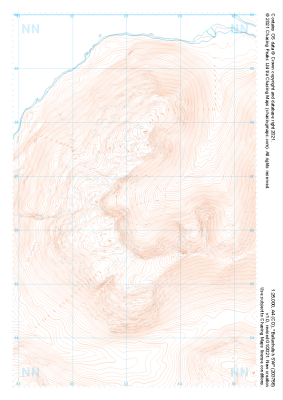 "Ballachulish SW" Landform£4.99
1:25,000 scale map covering Ballachulish SW in the Scottish Highlands (approx. center NN032566).
Learn More -
 "Ballachulish SE" Landform£4.99
1:25,000 scale map covering Ballachulish SE in the Scottish Highlands (approx. center NN075566).
Learn More -
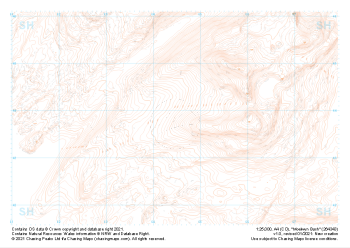
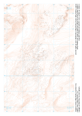 "Moel Meirch" Landform£4.99
1:25,000 scale map covering Moel Meirch in the North Wales (approx. center SH661511).
Learn More -
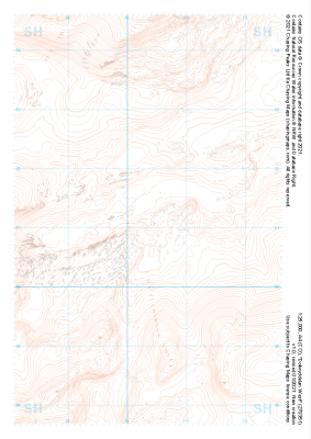 "Dolwyddelan West" Landform£4.99
1:25,000 scale map covering Dolwyddelan West in the North Wales (approx. center SH703511).
Learn More -
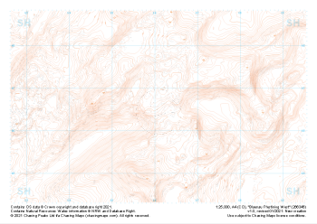 "Blaenau Ffestiniog West" Landform£4.99
1:25,000 scale map covering Blaenau Ffestiniog West in the North Wales (approx. center SH661466).
Learn More -
 "Moelwyn Bach" Landform£4.99
1:25,000 scale map covering Moelwyn Bach in the North Wales (approx. center SH645438).
Learn More -
 "Blaenau Ffestiniog East" Landform£4.99
1:25,000 scale map covering Blaenau Ffestiniog East in the North Wales (approx. center SH729456).
Learn More