Contour Mapping
-
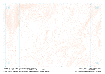 "Llyn Conwy" Landform£4.99
1:25,000 scale map covering Llyn Conwy in the North Wales (approx. center SH793456).
Learn More -
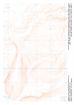
 "Penmachno" Landform£4.99
1:25,000 scale map covering Penmachno in the North Wales (approx. center SH796504).
Learn More -
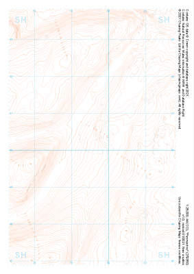
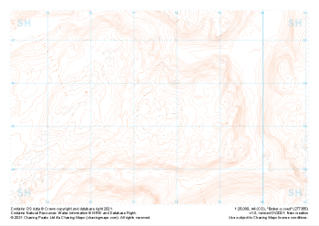 "Betws-y-coed" Landform£4.99
1:25,000 scale map covering Betws-y-coed in the North Wales (approx. center SH776554).
Learn More -
 "Dolwyddelan" Landform£4.99
1:25,000 scale map covering Dolwyddelan in the North Wales (approx. center SH749511).
Learn More -
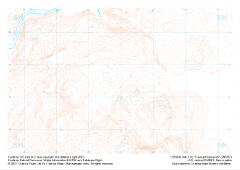
 "Llyn Morwynion" Landform£4.99
1:25,000 scale map covering Llyn Morwynion in the North Wales (approx. center SH735417).
Learn More -
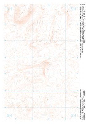
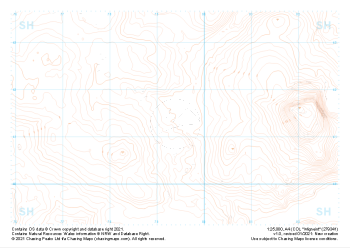 "Migneint" Landform£4.99
1:25,000 scale map covering Migneint in the North Wales (approx. center SH794414).
Learn More -
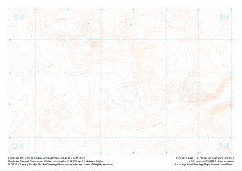 "Moel y Croesau" Landform£4.99
1:25,000 scale map covering Moel y Croesau in the North Wales (approx. center SH736377).
Learn More -
 "Ceunant Llennyrch" Landform£4.99
1:25,000 scale map covering Ceunant Llennyrch in the North Wales (approx. center SH660375).
Learn More -
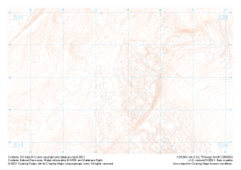 "Rhinogs North" Landform£4.99
1:25,000 scale map covering Rhinogs North in the North Wales (approx. center SH648339).
Learn More -
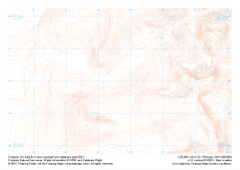 "Rhinogs SW" Landform£4.99
1:25,000 scale map covering Rhinogs SW in the North Wales (approx. center SH637260).
Learn More