Contour Mapping
-
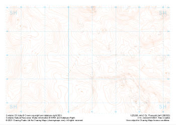
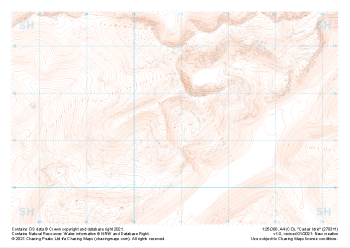 "Cadair Idris" Landform£4.99
1:25,000 scale map covering Cadair Idris in the North Wales (approx. center SH709115).
Learn More -
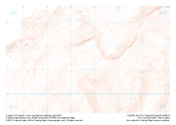 "Mynydd Pennant" Landform£4.99
1:25,000 scale map covering Mynydd Pennant in the North Wales (approx. center SH647114).
Learn More -
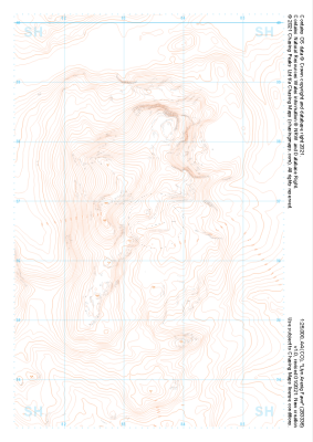 "Llyn Arenig Fawr" Landform£4.99
1:25,000 scale map covering Llyn Arenig Fawr in the North Wales (approx. center SH834367).
Learn More -
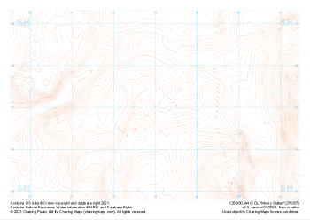 "Moel y Slates" Landform£4.99
1:25,000 scale map covering Moel y Slates in the North Wales (approx. center SH790371).
Learn More -
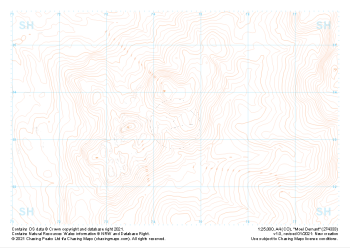 "Moel Oernant" Landform£4.99
1:25,000 scale map covering Moel Oernant in the North Wales (approx. center SH745335).
Learn More -
 "Pennant-Lliw" Landform£4.99
1:25,000 scale map covering Pennant-Lliw in the North Wales (approx. center SH808328).
Learn More -
 "Dduallt" Landform£4.99
1:25,000 scale map covering Dduallt in the North Wales (approx. center SH813275).
Learn More -
 "Rhobell Fawr" Landform£4.99
1:25,000 scale map covering Rhobell Fawr in the North Wales (approx. center SH781263).
Learn More -
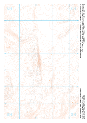
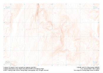 "Moel Hebog" Landform£4.99
1:25,000 scale map covering Moel Hebog in the North Wales (approx. center SH559471).
Learn More -
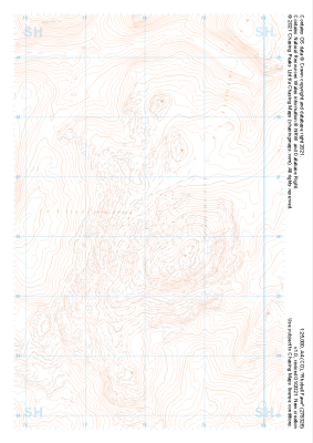
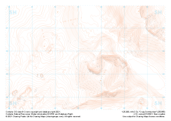 "Craig Cwmbychan" Landform£4.99
1:25,000 scale map covering Craig Cwmbychan in the North Wales (approx. center SH533557).
Learn More