Contour Mapping
-
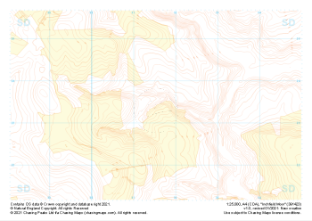
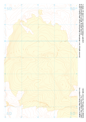 "Wheelton Moor" Landform+£4.99
1:25,000 scale map covering Wheelton Moor in the Midlands (approx. center SD642188).
Learn More -
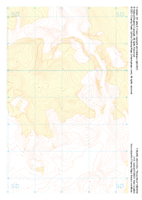
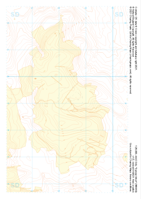 "Darwen Moor" Landform+£4.99
1:25,000 scale map covering Darwen Moor in the Midlands (approx. center SD683191).
Learn More -
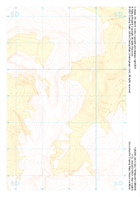
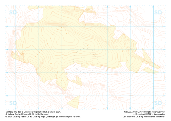 "Rivington Pike" Landform+£4.99
1:25,000 scale map covering Rivington Pike in the Midlands (approx. center SD670137).
Learn More -
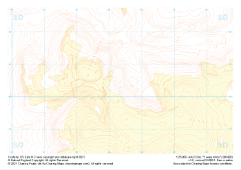
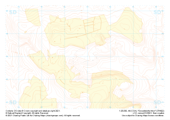 "Oswaldwistle Moor" Landform+£4.99
1:25,000 scale map covering Oswaldwistle Moor in the Midlands (approx. center SD749230).
Learn More -
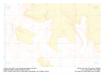
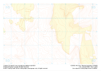 "Musden Head Moor" Landform+£4.99
1:25,000 scale map covering Musden Head Moor in the Midlands (approx. center SD749188).
Learn More -
 "Cowpe Moss" Landform+£4.99
1:25,000 scale map covering Cowpe Moss in the Midlands (approx. center SD833205).
Learn More -
 "Knowl Moor" Landform+£4.99
1:25,000 scale map covering Knowl Moor in the Midlands (approx. center SD834166).
Learn More -
 "Whitworth" Landform+£4.99
1:25,000 scale map covering Whitworth in the Midlands (approx. center SD889189).
Learn More -
 "Inchfield Moor" Landform+£4.99
1:25,000 scale map covering Inchfield Moor in the Midlands (approx. center SD915234).
Learn More -
 "Shore Moor" Landform+£4.99
1:25,000 scale map covering Shore Moor in the Midlands (approx. center SD932189).
Learn More