Contour Mapping
-
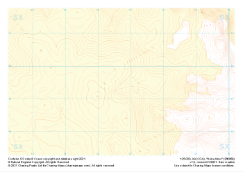
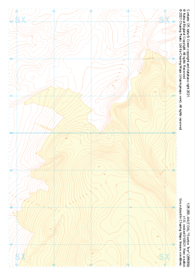 "Sourton Tors" Landform+£4.99
1:25,000 scale map covering Sourton Tors in the Dartmoor (approx. center SX550899).
Learn More -
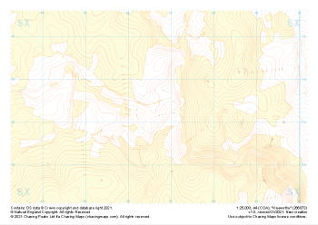
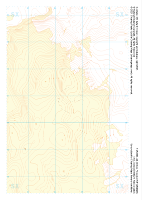 "Cosdon Hill" Landform+£4.99
1:25,000 scale map covering Cosdon Hill in the Dartmoor (approx. center SX644908).
Learn More -
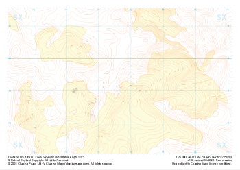
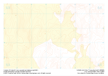 "Fernworthy North" Landform+£4.99
1:25,000 scale map covering Fernworthy North in the Dartmoor (approx. center SX655855).
Learn More -
 "Hameldown Tor" Landform+£4.99
1:25,000 scale map covering Hameldown Tor in the Dartmoor (approx. center SX705809).
Learn More -
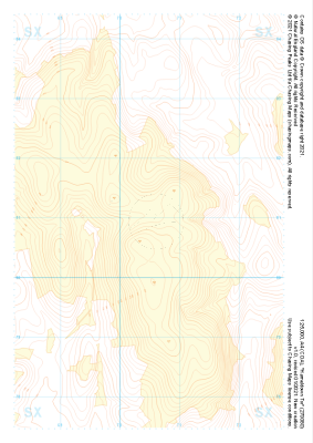
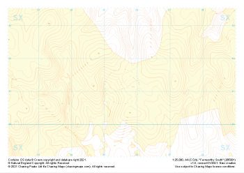 "Fernworthy South" Landform+£4.99
1:25,000 scale map covering Fernworthy South in the Dartmoor (approx. center SX655813).
Learn More -
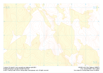 "Bellever" Landform+£4.99
1:25,000 scale map covering Bellever in the Dartmoor (approx. center SX655770).
Learn More -
 "Haytor South" Landform+£4.99
1:25,000 scale map covering Haytor South in the Dartmoor (approx. center SX746757).
Learn More -
 "Haytor North" Landform+£4.99
1:25,000 scale map covering Haytor North in the Dartmoor (approx. center SX757793).
Learn More -
 "Hexworthy" Landform+£4.99
1:25,000 scale map covering Hexworthy in the Dartmoor (approx. center SX667734).
Learn More -
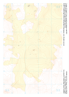
 "Holne Moor" Landform+£4.99
1:25,000 scale map covering Holne Moor in the Dartmoor (approx. center SX667695).
Learn More