Contour Mapping
-
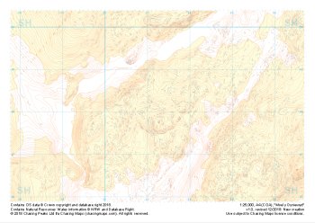 "Moel y Dyniewyd" Landform+£4.99
1:25,000 scale map covering Moel y Dyniewyd in North Wales (approx. center SH612480).
Learn More -
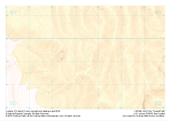 "Howgill Fells" Landform+£4.99
1:25,000 scale map covering Howgill Fells in the Yorkshire Dales (approx. center SD654990).
Learn More -
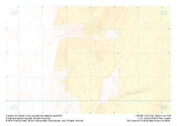 "Barbon Low Fell" Landform+£4.99
1:25,000 scale map covering Barbon Low Fell in the Yorkshire Dales (approx. center SD649816).
Learn More -
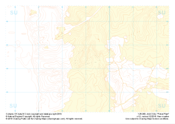 "Picket Plain" Landform+£4.99
1:25,000 scale map covering Picket Plain in the South West (approx. center SU191043).
Learn More -
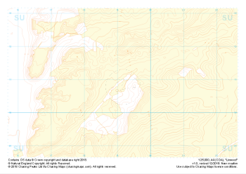 "Linwood" Landform+£4.99
1:25,000 scale map covering Linwood in the South West (approx. center SU192108).
Learn More -
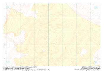 "Ashley Walk" Landform+£4.99
1:25,000 scale map covering Ashley Walk in the South West (approx. center SU202156).
Learn More -
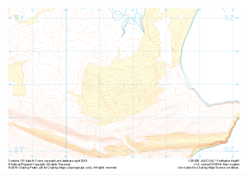
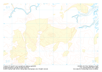 "Middlebere Heath" Landform+£4.99
1:25,000 scale map covering Middlebere Heath in the South West (approx. center SY948851).
Learn More -
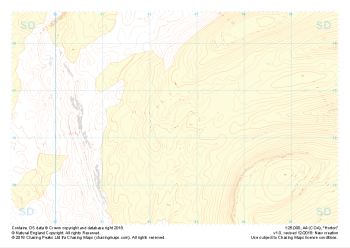 "Horton" Landform+£4.99
1:25,000 scale map covering Horton in the Yorkshire Dales (approx. center SD825763).
Learn More -
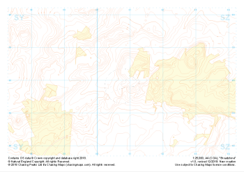
 "Godlington Heath" Landform+£4.99
1:25,000 scale map covering Godlington Heath in the South West (approx. center SZ017829).
Learn More -
 "Broadstone" Landform+£4.99
1:25,000 scale map covering Broadstone in the South West (approx. center SZ008958).
Learn More