Contour Mapping
-
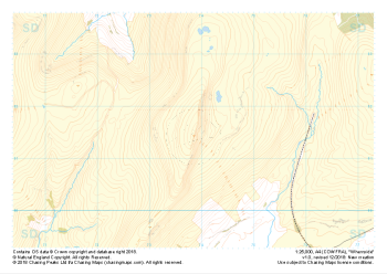 "Whernside" Major Hazards£4.99
1:25,000 scale map covering Whernside in the Yorkshire Dales (approx. center SD738814).
Learn More -
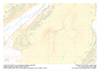 "Ingleborough" Major Hazards£4.99
1:25,000 scale map covering Ingleborough in the Yorkshire Dales (approx. center SD741746).
Learn More -
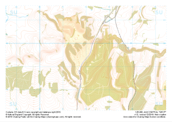 "QECP" Major Hazards£4.99
1:25,000 scale map covering QECP in the South Downs (approx. center SU720192).
Learn More -
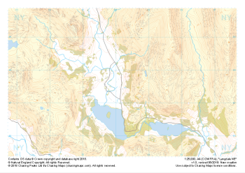
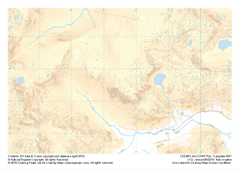 "Langdale NW" Major Hazards£4.99
1:25,000 scale map covering Langdale's North West corner (approx. center NY275075).
Known for its stunning countryside, tricky navigational terrain and beautiful wild camping spots, the Langdale Fells provide a true mountain adventure for every type of explorer.
Learn More -
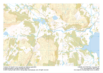
 "Langdale NE" Major Hazards£4.99
1:25,000 scale map covering Langdale's North East corner (approx. center NY345075).
Known for its stunning countryside, tricky navigational terrain and beautiful wild camping spots, the Langdale Fells provide a true mountain adventure for every type of explorer.
Learn More -
 "Langdale SE" Major Hazards£4.99
1:25,000 scale map covering Langdale's South East corner (approx. center NY345035).
Known for its stunning countryside, tricky navigational terrain and beautiful wild camping spots, the Langdale Fells provide a true mountain adventure for every type of explorer.
Learn More -
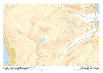 "Helvellyn" Major Hazards£4.99
1:25,000 scale map covering Helvellyn (approx. center NY354155).
Helvellyn stands as one of the best known peaks in the Lake District National Park. Home to the stunning horseshoe comprising the classic scrambles of Swirral Edge and Striding Edge as well as the Lake District Fell Top Assessors during the winter months providing the mountain community with vital updates on ground conditions for the wider area. While she can be beautiful and calm in any season she is also known to show her teeth and accidents on the edges are frequent, especially in the winter months.
Learn More -
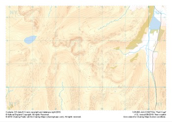 "Hart Crag" Major Hazards£4.99
1:25,000 scale map covering Hart Crag and Dovedale (approx. center NY374110).
This area south of the famous Helvellyn is often overlooked but provides some beautifully non-crowded alternatives. Navigationally this area provides many opportunities to practice contour and slope aspect work.
Learn More -
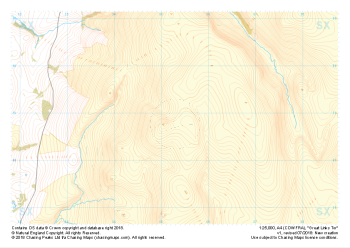 "Great Links Tor" Major Hazards£4.99
1:25,000 scale map covering Dartmoor's Great Links Tor (approx. center SX552867).
A great area for navigation practice, Dartmoor's Great Links Tor borders the MoD training areas of Okehampton and Willsworthy. Live firing and exercise times are published by the MoD and a quick search for "Dartmoor firing times" should form part of your planning in this area. On the ground red flags by day and red lights at night will show the range is being used for live firing and it is in your best interest to not cross and indeed steer well clear of the line of red and white marker posts.
Learn More -
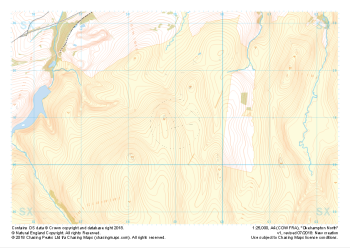 "Okehampton North" Major Hazards£4.99
1:25,000 scale map covering the North section of Dartmoor's Okehampton Range (approx. center SX589908).
The North section of Dartmoor's Okehampton Range, the largest of the Dartmoor live firing ranges. Spanning 11km by 8km the Okehampton training area offers a perfect mix of established paths, granite tors, rolling hills, bumbling streams, ancient structures and (away from the paths) blissful quiet. Coupled with some of the most challenging, largely "featureless" navigation terrain around, the ranges have been known to test the most seasoned navigators' toolboxes.
Live firing and exercise times are published by the MoD and a quick search for "Dartmoor firing times" should form part of your planning in this area. On the ground red flags by day and red lights at night will show the range is being used for live firing and it is in your best interest to not cross and indeed steer well clear of the line of red and white marker posts.
Learn More