Contour Mapping
-
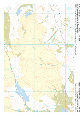
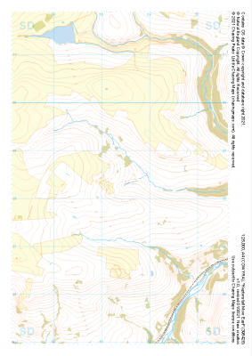 "Heptonstall Moor East" Major Hazards£4.99
1:25,000 scale map covering Heptonstall Moor East in the Midlands (approx. center SD954284).
Learn More -
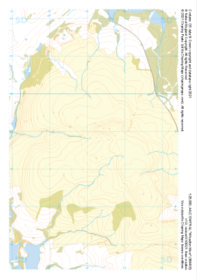
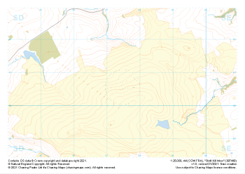 "Stott Hill Moor" Major Hazards£4.99
1:25,000 scale map covering Stott Hill Moor in the Midlands (approx. center SD975407).
Learn More -
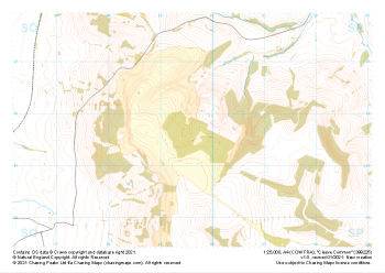 "Cleeve Common" Major Hazards£4.99
1:25,000 scale map covering Cleeve Common in the South West (approx. center SO996257).
Learn More -
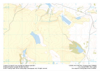 "Oxenhope Moor" Major Hazards£4.99
1:25,000 scale map covering Oxenhope Moor in the Midlands (approx. center SE041321).
Learn More -
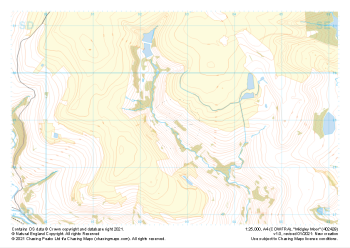 "Midgley Moor" Major Hazards£4.99
1:25,000 scale map covering Midgley Moor in the Midlands (approx. center SE027290).
Learn More -
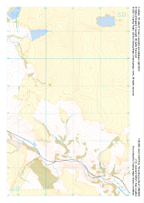 "Worsthorne Moor" Major Hazards£4.99
1:25,000 scale map covering Worsthorne Moor in the Midlands (approx. center SD908284).
Learn More -
 "Great Hameldon" Major Hazards£4.99
1:25,000 scale map covering Great Hameldon in the Midlands (approx. center SD803271).
Learn More -
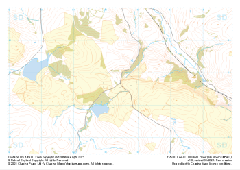 "Deerplay Moor" Major Hazards£4.99
1:25,000 scale map covering Deerplay Moor in the Midlands (approx. center SD854277).
Learn More -
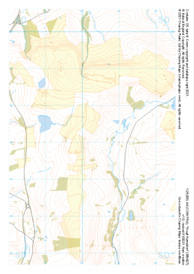
 "Wheelton Moor" Major Hazards£4.99
1:25,000 scale map covering Wheelton Moor in the Midlands (approx. center SD642188).
Learn More -
 "Darwen Moor" Major Hazards£4.99
1:25,000 scale map covering Darwen Moor in the Midlands (approx. center SD683191).
Learn More