Contour Mapping
-
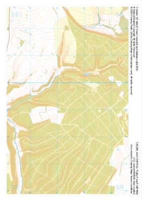 "Dalby Forest" Major Hazards£4.99
1:25,000 scale map covering Dalby Forest in the North Yorkshire (approx. center SE874893).
Learn More -
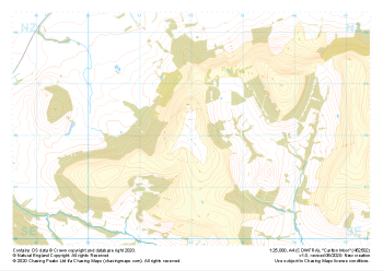 "Carlton Moor" Major Hazards£4.99
1:25,000 scale map covering Carlton Moor in the North Yorkshire (approx. center NZ520020).
Learn More -
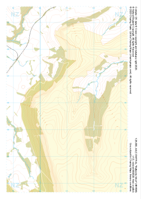 "Battersby Moor" Major Hazards£4.99
1:25,000 scale map covering Westerdale Moor in the North Yorkshire (approx. center NZ677019).
Learn More -
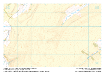 "Buckden" Major Hazards£4.99
1:25,000 scale map covering Buckden in the North Yorkshire (approx. center SD975793).
Learn More -
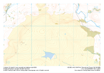 "Burnsall and Thorpe Fell" Major Hazards£4.99
1:25,000 scale map covering Burnsall and Thorpe Fell in the North Yorkshire (approx. center SE015593).
Learn More -
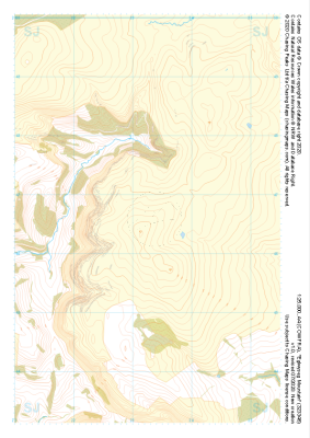
 "Moel Famau West" Major Hazards£4.99
1:25,000 scale map covering Moel Famau West in the North Wales (approx. center SJ153645).
Learn More -
 "Eglwyseg Mountain" Major Hazards£4.99
1:25,000 scale map covering Eglwyseg Mountain in the North Wales (approx. center SJ233465).
Learn More -
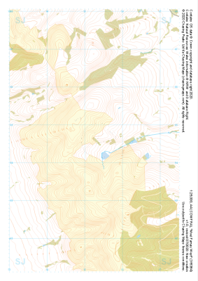
 "Moel y Parc" Major Hazards£4.99
1:25,000 scale map covering Moel y Parc in the North Wales (approx. center SJ123703).
Learn More -
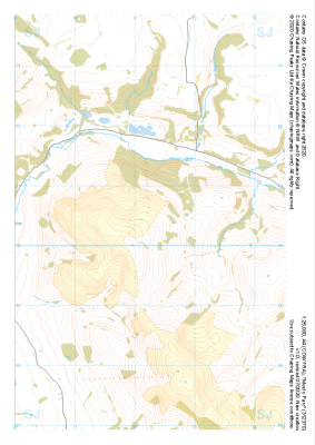
 "Gellifor" Major Hazards£4.99
1:25,000 scale map covering Gellifor in the North Wales (approx. center SJ123635).
Learn More -
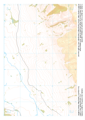
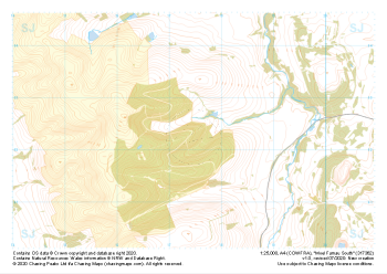 "Moel Famau South" Major Hazards£4.99
1:25,000 scale map covering Moel Famau South in the North Wales (approx. center SJ175623).
Learn More