Contour Mapping
-
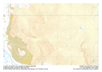 "Skiddaw" Major Hazards£4.99
1:25,000 scale map covering Skiddaw in the Lake District (approx. center NY265286).
Learn More -
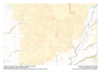
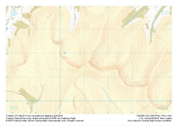 "Pen y Fan" Major Hazards£4.99
1:25,000 scale map covering Pen y Fan in the South Wales (approx. center SO012216).
Learn More -
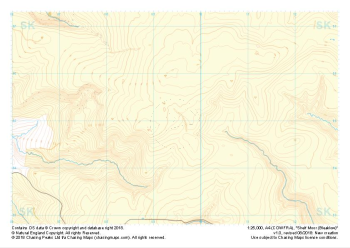 "Shelf Moor (Bleaklow)" Major Hazards£4.99
1:25,000 scale map covering Shelf Moor (Bleaklow) in the Peak District (approx. center SK095949).
Learn More -
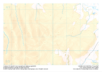
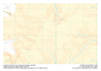 "Knott" Major Hazards£4.99
1:25,000 scale map covering Knott in the Lake District (approx. center NY296330).
Learn More -
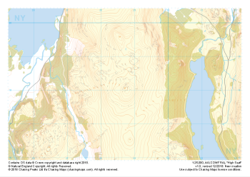 "High Seat" Major Hazards£4.99
1:25,000 scale map covering High Seat in the Lake District (approx. center NY287181).
Learn More -
 "Green Bell" Major Hazards£4.99
1:25,000 scale map covering Green Bell in the Yorkshire Dales (approx. center NY699011).
Learn More -
 "Brant Fell" Major Hazards£4.99
1:25,000 scale map covering Brant Fell in the Yorkshire Dales (approx. center SD666948).
Learn More -
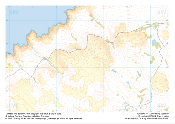 "Zennor" Major Hazards£4.99
1:25,000 scale map covering Zennor in the South West (approx. center SW473382).
Learn More -
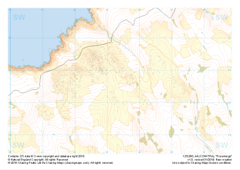 "Rosemergy" Major Hazards£4.99
1:25,000 scale map covering Rosemergy in the South West (approx. center SW434355).
Learn More -
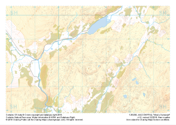 "Moel y Dyniewyd" Major Hazards£4.99
1:25,000 scale map covering Moel y Dyniewyd in North Wales (approx. center SH612480).
Learn More