Contour Mapping
-
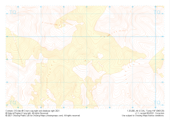 "Camp Hill" Landform+£4.99
1:25,000 scale map covering Camp Hill in the South East (approx. center TQ469290).
Learn More -
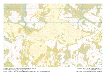 "Camp Hill" Natural Features£4.99
1:25,000 scale map covering Camp Hill in the South East (approx. center TQ469290).
Learn More -
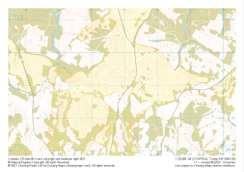 "Camp Hill" Major Hazards£4.99
1:25,000 scale map covering Camp Hill in the South East (approx. center TQ469290).
Learn More -
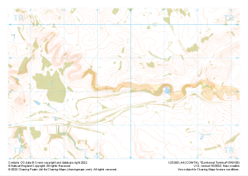
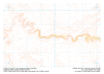 "Eurotunnel Terminal" Landform+£4.99
1:25,000 scale map covering Eurotunnel Terminal in the South East (approx. center TR198382).
Learn More -
 "Eurotunnel Terminal" Natural Features£4.99
1:25,000 scale map covering Eurotunnel Terminal in the South East (approx. center TR198382).
Learn More -
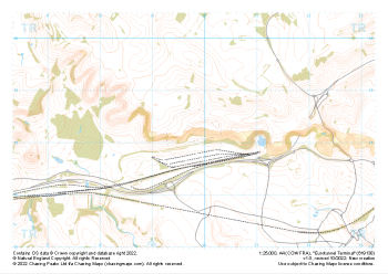 "Eurotunnel Terminal" Major Hazards£4.99
1:25,000 scale map covering Eurotunnel Terminal in the South East (approx. center TR198382).
Learn More -
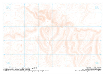
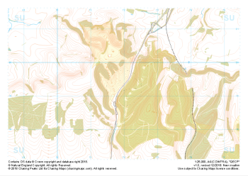 "QECP" Major Hazards£4.99
1:25,000 scale map covering QECP in the South Downs (approx. center SU720192).
Learn More -
 "QECP" Natural Features£4.99
1:25,000 scale map covering QECP in the South Downs (approx. center SU720192).
Learn More -
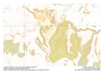
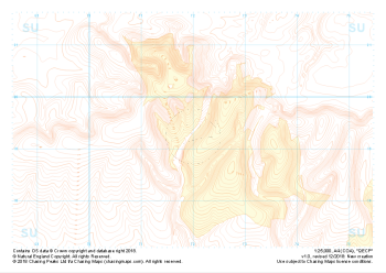 "QECP" Landform+£4.99
1:25,000 scale map covering QECP in the South Downs (approx. center SU720192).
Learn More -
 "QECP" Landform£4.99
1:25,000 scale map covering QECP in the South Downs (approx. center SU720192).
Learn More