Contour Mapping
-
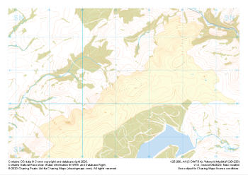 "Mynydd Myddfai" Major Hazards£4.99
1:25,000 scale map covering Mynydd Myddfai in the South Wales (approx. center SN812305).
Learn More -
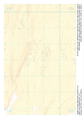 "Tyle Garw" Landform+£4.99
1:25,000 scale map covering Tyle Garw in the South Wales (approx. center SN788169).
Learn More -
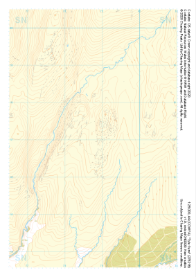 "Tyle Garw" Natural Features£4.99
1:25,000 scale map covering Tyle Garw in the South Wales (approx. center SN788169).
Learn More -
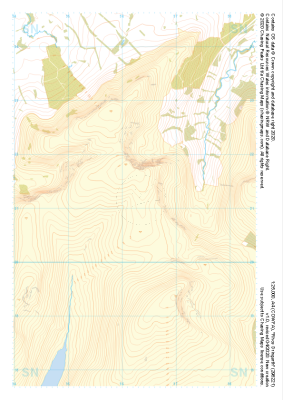
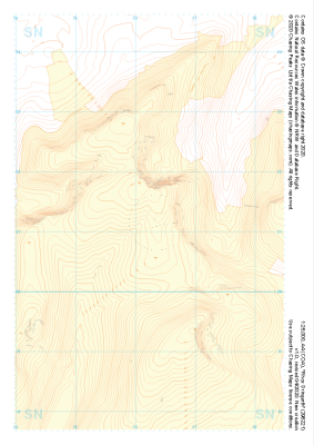 "Rhos Dringarth" Landform+£4.99
1:25,000 scale map covering Rhos Dringarth in the South Wales (approx. center SN962210).
Learn More -
 "Rhos Dringarth" Natural Features£4.99
1:25,000 scale map covering Rhos Dringarth in the South Wales (approx. center SN962210).
Learn More -
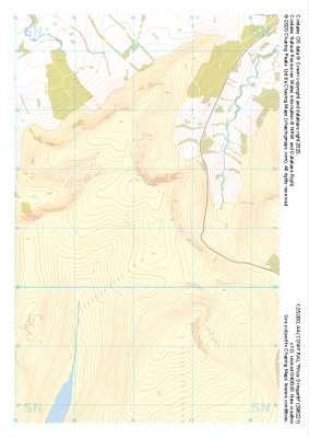 "Rhos Dringarth" Major Hazards£4.99
1:25,000 scale map covering Rhos Dringarth in the South Wales (approx. center SN962210).
Learn More -
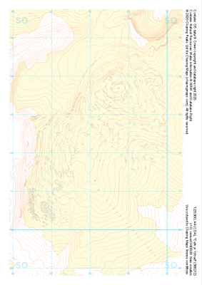 "Cefn yr Ystrad" Landform+£4.99
1:25,000 scale map covering Cefn yr Ystrad in the South Wales (approx. center SO082121).
Learn More -
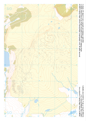 "Cefn yr Ystrad" Natural Features£4.99
1:25,000 scale map covering Cefn yr Ystrad in the South Wales (approx. center SO082121).
Learn More -
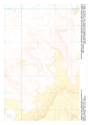
 "Cefn yr Ystrad" Major Hazards£4.99
1:25,000 scale map covering Cefn yr Ystrad in the South Wales (approx. center SO082121).
Learn More -
 "Twmpa" Landform+£4.99
1:25,000 scale map covering Twmpa in the South Wales (approx. center SO212367).
Learn More