Contour Mapping
-
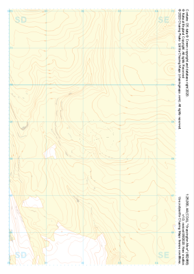
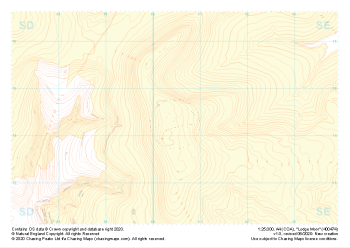
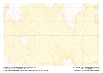 "Westerdale Moor" Landform+£4.99
1:25,000 scale map covering Battersby Moor in the North Yorkshire (approx. center NZ610060).
Learn More -
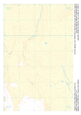
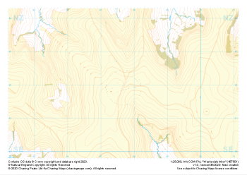 "Westerdale Moor" Natural Features£4.99
1:25,000 scale map covering Battersby Moor in the North Yorkshire (approx. center NZ610060).
Learn More -
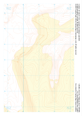 "Battersby Moor" Landform+£4.99
1:25,000 scale map covering Westerdale Moor in the North Yorkshire (approx. center NZ677019).
Learn More -
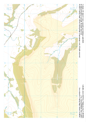
 "Battersby Moor" Natural Features£4.99
1:25,000 scale map covering Westerdale Moor in the North Yorkshire (approx. center NZ677019).
Learn More -
 "Battersby Moor" Major Hazards£4.99
1:25,000 scale map covering Westerdale Moor in the North Yorkshire (approx. center NZ677019).
Learn More -
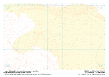
 "Grassington Moor" Landform+£4.99
1:25,000 scale map covering Grassington Moor in the North Yorkshire (approx. center SE023685).
Learn More -
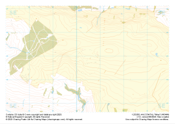
 "Grassington Moor" Natural Features£4.99
1:25,000 scale map covering Grassington Moor in the North Yorkshire (approx. center SE023685).
Learn More -
 "Ilkley" Landform+£4.99
1:25,000 scale map covering Ilkley in the North Yorkshire (approx. center SE105448).
Learn More -
 "Ilkley" Natural Features£4.99
1:25,000 scale map covering Ilkley in the North Yorkshire (approx. center SE105448).
Learn More -
 "Lodge Moor" Landform+£4.99
1:25,000 scale map covering Lodge Moor in the North Yorkshire (approx. center SE005743).
Learn More