Contour Mapping
-
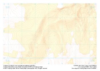
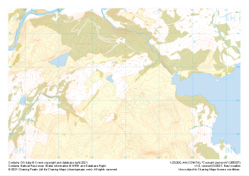 "Ceunant Llennyrch" Natural Features£4.99
1:25,000 scale map covering Ceunant Llennyrch in the North Wales (approx. center SH660375).
Learn More -
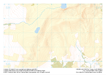
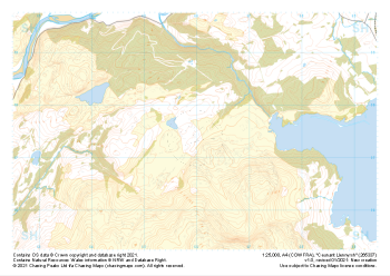 "Ceunant Llennyrch" Major Hazards£4.99
1:25,000 scale map covering Ceunant Llennyrch in the North Wales (approx. center SH660375).
Learn More -
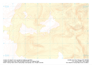
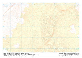 "Rhinogs North" Landform+£4.99
1:25,000 scale map covering Rhinogs North in the North Wales (approx. center SH648339).
Learn More -
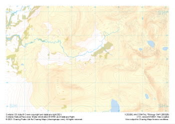
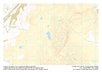 "Rhinogs North" Natural Features£4.99
1:25,000 scale map covering Rhinogs North in the North Wales (approx. center SH648339).
Learn More -
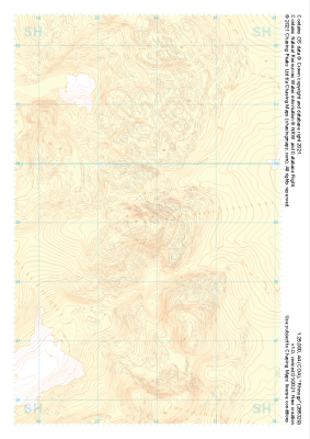
 "Rhinogs SW" Landform+£4.99
1:25,000 scale map covering Rhinogs SW in the North Wales (approx. center SH637260).
Learn More -
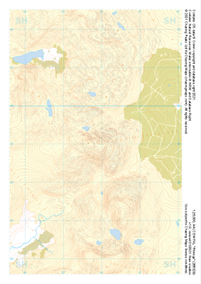
 "Rhinogs SW" Natural Features£4.99
1:25,000 scale map covering Rhinogs SW in the North Wales (approx. center SH637260).
Learn More -
 "Rhinogs" Landform+£4.99
1:25,000 scale map covering Rhinogs in the North Wales (approx. center SH658291).
Learn More -
 "Rhinogs" Natural Features£4.99
1:25,000 scale map covering Rhinogs in the North Wales (approx. center SH658291).
Learn More -
 "Craig y Grut" Landform+£4.99
1:25,000 scale map covering Craig y Grut in the North Wales (approx. center SH641218).
Learn More -
 "Craig y Grut" Natural Features£4.99
1:25,000 scale map covering Craig y Grut in the North Wales (approx. center SH641218).
Learn More