Contour Mapping
-
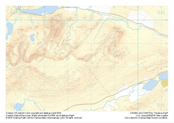
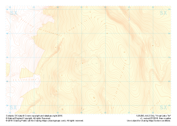 "Great Links Tor" Landform+£4.99
1:25,000 scale map covering Dartmoor's Great Links Tor (approx. center SX552867).
A great area for navigation practice, Dartmoor's Great Links Tor borders the MoD training areas of Okehampton and Willsworthy. Live firing and exercise times are published by the MoD and a quick search for "Dartmoor firing times" should form part of your planning in this area. On the ground red flags by day and red lights at night will show the range is being used for live firing and it is in your best interest to not cross and indeed steer well clear of the line of red and white marker posts.
Learn More -
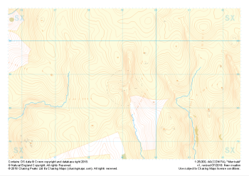 "Merrivale" Natural Features£4.99
1:25,000 scale map covering the area of the Merrivale Range on Dartmoor (approx. center SX590785).
The area of the Merrivale Range on Dartmoor lies to the South of the large expanse of the Okehampton Range. Here, exploring the remains of ancient settlements can provide a welcome distraction from boggy ground and seemingly identical landscape over every mound. Perfectly suited to provide even the most skilled mountain navigator with a tough challenge, there is a very good reason the MoD trains our country's soldiers on Dartmoor in the dark art of navigating.
Live firing and exercise times are published by the MoD and a quick search for "Dartmoor firing times" should form part of your planning in this area. On the ground red flags by day and red lights at night will show the range is being used for live firing and it is in your best interest to not cross and indeed steer well clear of the line of red and white marker posts.
Learn More -
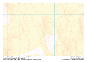 "Merrivale" Landform+£4.99
1:25,000 scale map covering the area of the Merrivale Range on Dartmoor (approx. center SX590785).
The area of the Merrivale Range on Dartmoor lies to the South of the large expanse of the Okehampton Range. Here, exploring the remains of ancient settlements can provide a welcome distraction from boggy ground and seemingly identical landscape over every mound. Perfectly suited to provide even the most skilled mountain navigator with a tough challenge, there is a very good reason the MoD trains our country's soldiers on Dartmoor in the dark art of navigating.
Live firing and exercise times are published by the MoD and a quick search for "Dartmoor firing times" should form part of your planning in this area. On the ground red flags by day and red lights at night will show the range is being used for live firing and it is in your best interest to not cross and indeed steer well clear of the line of red and white marker posts.
Learn More -
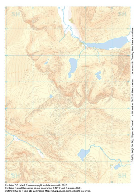
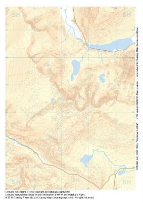 "Glyderau Central" Major Hazards£4.99
1:25,000 scale map covering Glyderau Central in the North Wales (approx. center SH643585).
Learn More -
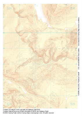
 "Glyderau Central" Natural Features£4.99
1:25,000 scale map covering Glyderau Central in the North Wales (approx. center SH643585).
Learn More -
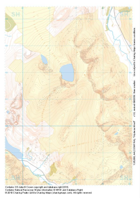
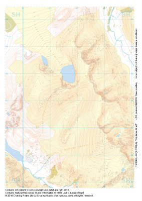
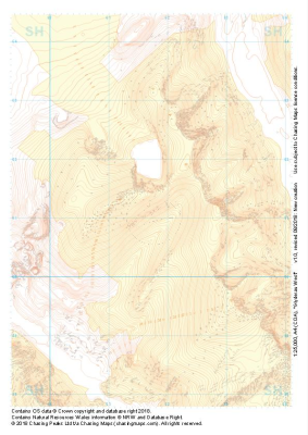
 "Glyderau Central" Landform+£4.99
1:25,000 scale map covering Glyderau Central in the North Wales (approx. center SH643585).
Learn More -
 "Glyderau West" Major Hazards£4.99
1:25,000 scale map covering Glyderau West in the North Wales (approx. center SH617611).
Learn More -
 "Glyderau West" Natural Features£4.99
1:25,000 scale map covering Glyderau West in the North Wales (approx. center SH617611).
Learn More -
 "Glyderau West" Landform+£4.99
1:25,000 scale map covering Glyderau West in the North Wales (approx. center SH617611).
Learn More -
 "Glyderau East" Major Hazards£4.99
1:25,000 scale map covering Glyderau East in the North Wales (approx. center SH678584).
Learn More