Contour Mapping
-
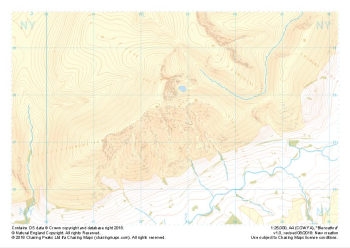
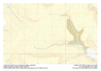 "Kinder Scout North" Natural Features£4.99
1:25,000 scale map covering Kinder Scout North in the Peak District (approx. center SK089914).
Learn More -
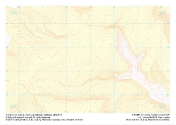 "Kinder Scout North" Landform+£4.99
1:25,000 scale map covering Kinder Scout North in the Peak District (approx. center SK089914).
Learn More -
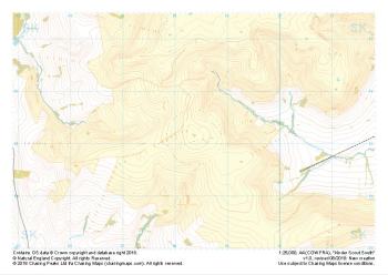 "Kinder Scout South" Major Hazards£4.99
1:25,000 scale map covering Kinder Scout South in the Peak District (approx. center SK084851).
Learn More -
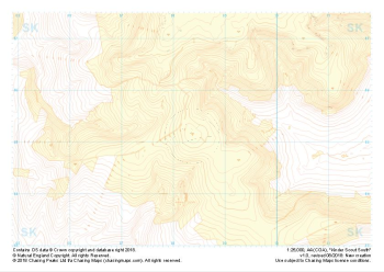
 "Kinder Scout South" Natural Features£4.99
1:25,000 scale map covering Kinder Scout South in the Peak District (approx. center SK084851).
Learn More -
 "Kinder Scout South" Landform+£4.99
1:25,000 scale map covering Kinder Scout South in the Peak District (approx. center SK084851).
Learn More -
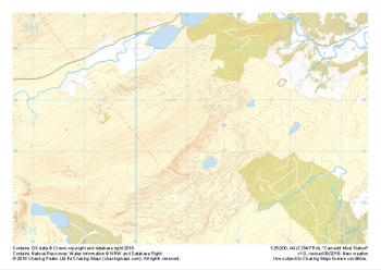 "Carnedd Moel Siabod" Major Hazards£4.99
1:25,000 scale map covering Carnedd Moel Siabod in the North Wales (approx. center SH711554).
Learn More -
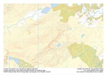 "Carnedd Moel Siabod" Natural Features£4.99
1:25,000 scale map covering Carnedd Moel Siabod in the North Wales (approx. center SH711554).
Learn More -
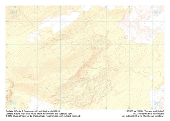 "Carnedd Moel Siabod" Landform+£4.99
1:25,000 scale map covering Carnedd Moel Siabod in the North Wales (approx. center SH711554).
Learn More -
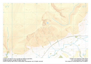 "Blencathra" Major Hazards£4.99
1:25,000 scale map covering Blencathra in the Lake District (approx. center NY327275).
Learn More -
 "Blencathra" Natural Features£4.99
1:25,000 scale map covering Blencathra in the Lake District (approx. center NY327275).
Learn More