Contour Mapping
-
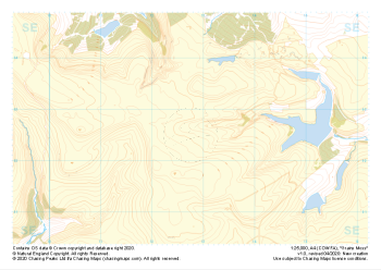
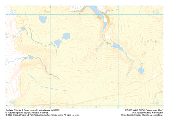 "Wessenden Moor" Natural Features£4.99
1:25,000 scale map covering Wessenden Moor in the Peak District (approx. center SE045080).
Learn More -
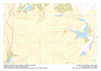
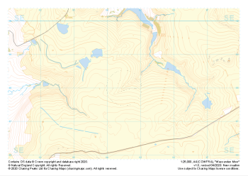 "Wessenden Moor" Major Hazards£4.99
1:25,000 scale map covering Wessenden Moor in the Peak District (approx. center SE045080).
Learn More -
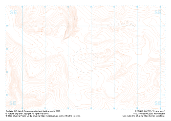 "Grains Moss" Landform£4.99
1:25,000 scale map covering Grains Moss in the Peak District (approx. center SE128025).
Learn More -
 "Grains Moss" Landform+£4.99
1:25,000 scale map covering Grains Moss in the Peak District (approx. center SE128025).
Learn More -
 "Grains Moss" Natural Features£4.99
1:25,000 scale map covering Grains Moss in the Peak District (approx. center SE128025).
Learn More -
 "Grains Moss" Major Hazards£4.99
1:25,000 scale map covering Grains Moss in the Peak District (approx. center SE128025).
Learn More -
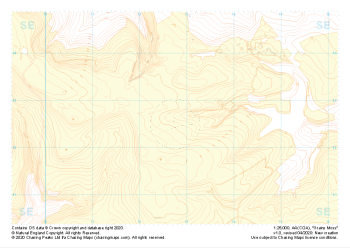
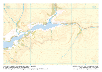
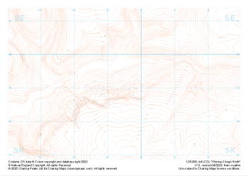 "Shining Clough North" Landform£4.99
1:25,000 scale map covering Shining Clough North in the Peak District (approx. center SK095990).
Learn More -
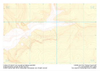 "Shining Clough North" Landform+£4.99
1:25,000 scale map covering Shining Clough North in the Peak District (approx. center SK095990).
Learn More -
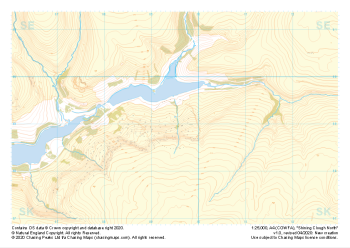 "Shining Clough North" Natural Features£4.99
1:25,000 scale map covering Shining Clough North in the Peak District (approx. center SK095990).
Learn More -
 "Shining Clough North" Major Hazards£4.99
1:25,000 scale map covering Shining Clough North in the Peak District (approx. center SK095990).
Learn More