Contour Mapping
-
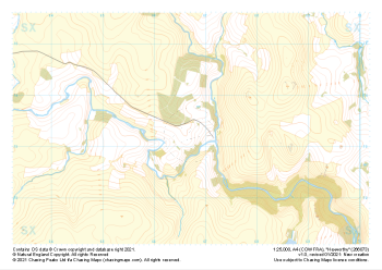 "Hexworthy" Major Hazards£4.99
1:25,000 scale map covering Hexworthy in the Dartmoor (approx. center SX667734).
Learn More -
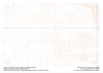 "Holne Moor" Landform£4.99
1:25,000 scale map covering Holne Moor in the Dartmoor (approx. center SX667695).
Learn More -
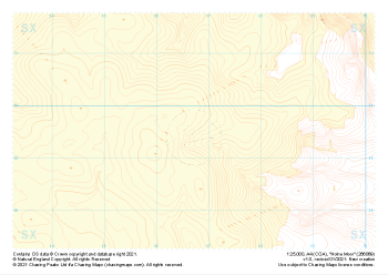 "Holne Moor" Landform+£4.99
1:25,000 scale map covering Holne Moor in the Dartmoor (approx. center SX667695).
Learn More -
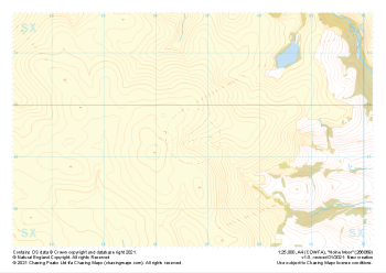 "Holne Moor" Natural Features£4.99
1:25,000 scale map covering Holne Moor in the Dartmoor (approx. center SX667695).
Learn More -
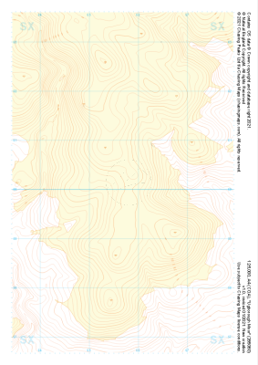
 "Ugborough Moor" Landform£4.99
1:25,000 scale map covering Ugborough Moor in the Dartmoor (approx. center SX657601).
Learn More -
 "Ugborough Moor" Landform+£4.99
1:25,000 scale map covering Ugborough Moor in the Dartmoor (approx. center SX657601).
Learn More -
 "Ugborough Moor" Natural Features£4.99
1:25,000 scale map covering Ugborough Moor in the Dartmoor (approx. center SX657601).
Learn More -
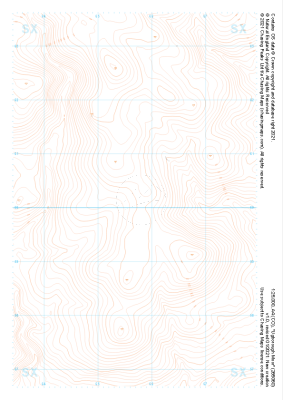
 "Ugborough Moor" Major Hazards£4.99
1:25,000 scale map covering Ugborough Moor in the Dartmoor (approx. center SX657601).
Learn More -
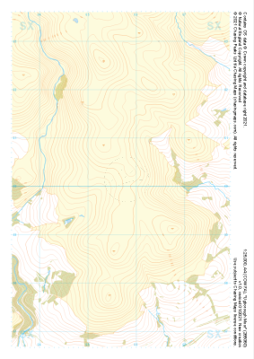
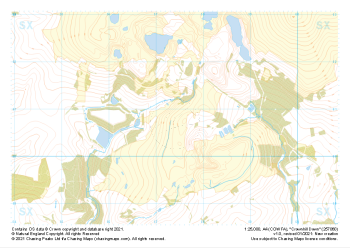
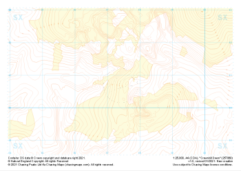 "Crownhill Down" Landform+£4.99
1:25,000 scale map covering Crownhill Down in the Dartmoor (approx. center SX574608).
Learn More -
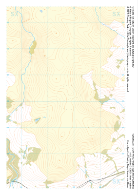
 "Crownhill Down" Natural Features£4.99
1:25,000 scale map covering Crownhill Down in the Dartmoor (approx. center SX574608).
Learn More