Contour Mapping
-
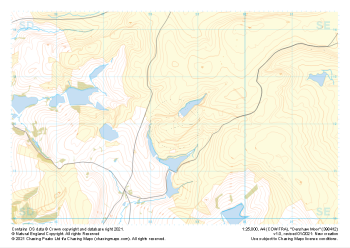 "Denshaw Moor" Major Hazards£4.99
1:25,000 scale map covering Denshaw Moor in the Midlands (approx. center SD985121).
Learn More -
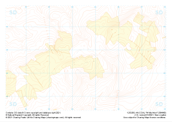 "White Moor" Landform+£4.99
1:25,000 scale map covering White Moor in the Midlands (approx. center SD846437).
Learn More -
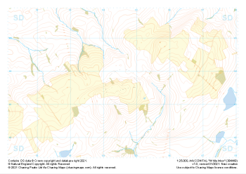 "White Moor" Natural Features£4.99
1:25,000 scale map covering White Moor in the Midlands (approx. center SD846437).
Learn More -
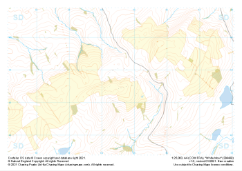 "White Moor" Major Hazards£4.99
1:25,000 scale map covering White Moor in the Midlands (approx. center SD846437).
Learn More -
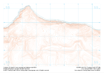 "Foreland Point" Landform£4.99
1:25,000 scale map covering Foreland Point in the South West (approx. center SS771491).
Learn More -
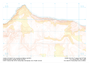 "Foreland Point" Landform+£4.99
1:25,000 scale map covering Foreland Point in the South West (approx. center SS771491).
Learn More -
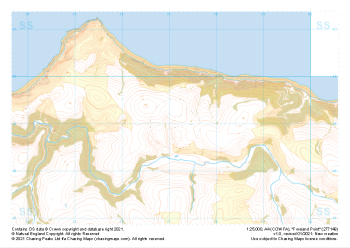 "Foreland Point" Natural Features£4.99
1:25,000 scale map covering Foreland Point in the South West (approx. center SS771491).
Learn More -
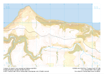 "Foreland Point" Major Hazards£4.99
1:25,000 scale map covering Foreland Point in the South West (approx. center SS771491).
Learn More -
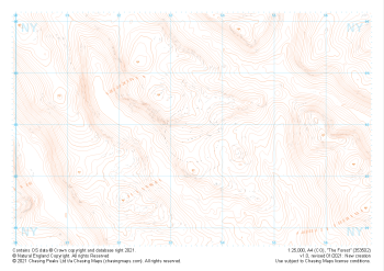 "The Forest" Landform£4.99
1:25,000 scale map covering The Forest in the Lake District (approx. center NY534029).
Learn More -
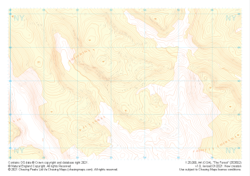 "The Forest" Landform+£4.99
1:25,000 scale map covering The Forest in the Lake District (approx. center NY534029).
Learn More