Contour Mapping
-
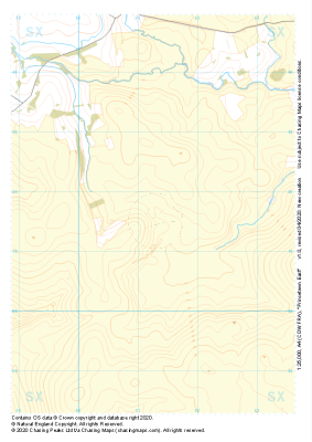
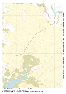 "Princetown West" Major Hazards£4.99
1:25,000 scale map covering Princetown West in the Dartmoor (approx. center SX573715).
Learn More -
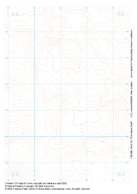 "Princetown East" Landform£4.99
1:25,000 scale map covering Princetown East in the Dartmoor (approx. center SX613715).
Learn More -
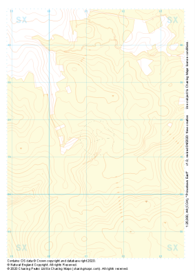 "Princetown East" Landform+£4.99
1:25,000 scale map covering Princetown East in the Dartmoor (approx. center SX613715).
Learn More -
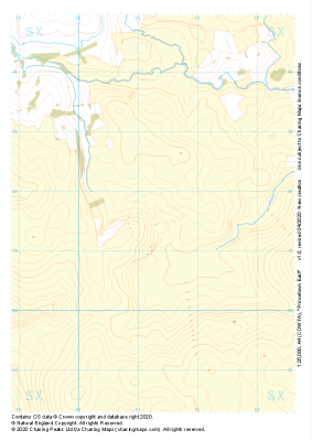 "Princetown East" Natural Features£4.99
1:25,000 scale map covering Princetown East in the Dartmoor (approx. center SX613715).
Learn More -
 "Princetown East" Major Hazards£4.99
1:25,000 scale map covering Princetown East in the Dartmoor (approx. center SX613715).
Learn More -
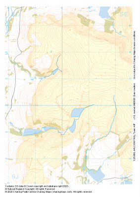
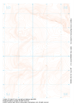 "Lees Hill" Landform£4.99
1:25,000 scale map covering Lees Hill in the Peak District (approx. center SE003003).
Learn More -
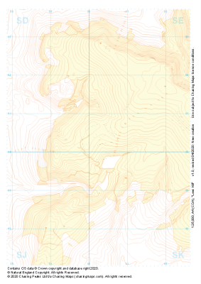 "Lees Hill" Landform+£4.99
1:25,000 scale map covering Lees Hill in the Peak District (approx. center SE003003).
Learn More -
 "Lees Hill" Natural Features£4.99
1:25,000 scale map covering Lees Hill in the Peak District (approx. center SE003003).
Learn More -
 "Lees Hill" Major Hazards£4.99
1:25,000 scale map covering Lees Hill in the Peak District (approx. center SE003003).
Learn More -
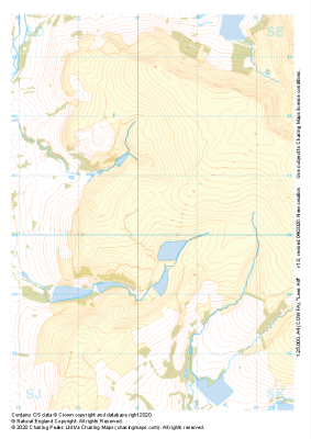
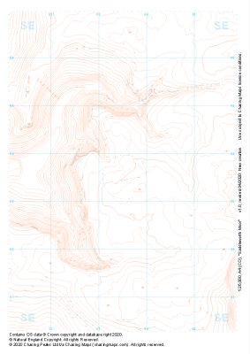 "Saddleworth Moor" Landform£4.99
1:25,000 scale map covering Saddleworth Moor in the Peak District (approx. center SE035035).
Learn More