Contour Mapping
-
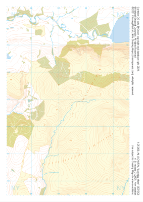
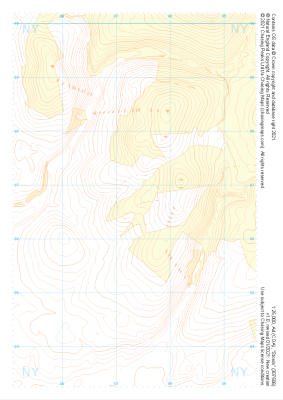 "Stords" Landform+£4.99
1:25,000 scale map covering Stords in the Lake District (approx. center NY073067).
Learn More -
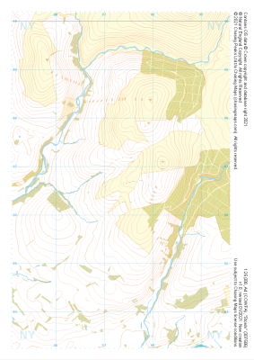 "Stords" Natural Features£4.99
1:25,000 scale map covering Stords in the Lake District (approx. center NY073067).
Learn More -
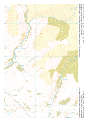 "Stords" Major Hazards£4.99
1:25,000 scale map covering Stords in the Lake District (approx. center NY073067).
Learn More -
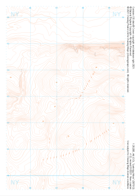
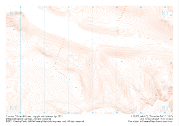 "Ennerdale Fell" Landform£4.99
1:25,000 scale map covering Ennerdale Fell in the Lake District (approx. center NY129131).
Learn More -
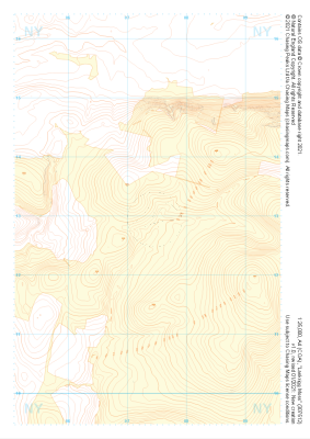
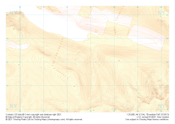 "Ennerdale Fell" Landform+£4.99
1:25,000 scale map covering Ennerdale Fell in the Lake District (approx. center NY129131).
Learn More -
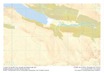 "Ennerdale Fell" Natural Features£4.99
1:25,000 scale map covering Ennerdale Fell in the Lake District (approx. center NY129131).
Learn More -
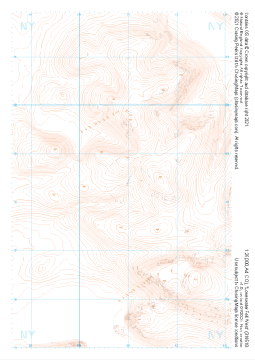
 "Lankrigg Moss" Landform£4.99
1:25,000 scale map covering Lankrigg Moss in the Lake District (approx. center NY073129).
Learn More -
 "Lankrigg Moss" Landform+£4.99
1:25,000 scale map covering Lankrigg Moss in the Lake District (approx. center NY073129).
Learn More -
 "Lankrigg Moss" Natural Features£4.99
1:25,000 scale map covering Lankrigg Moss in the Lake District (approx. center NY073129).
Learn More -
 "Loweswater Fell West" Landform£4.99
1:25,000 scale map covering Loweswater Fell West in the Lake District (approx. center NY109185).
Learn More